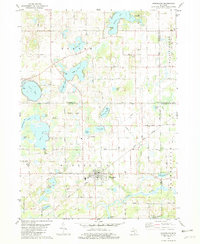
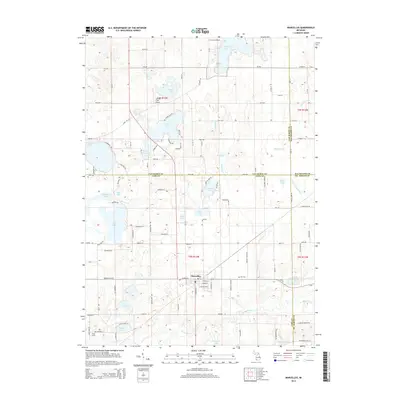
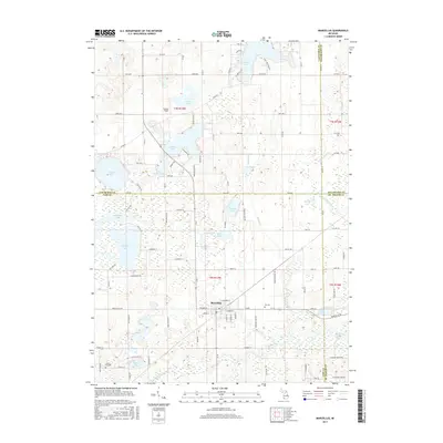
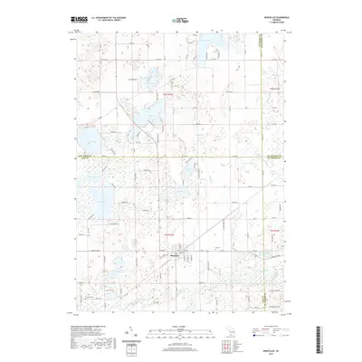
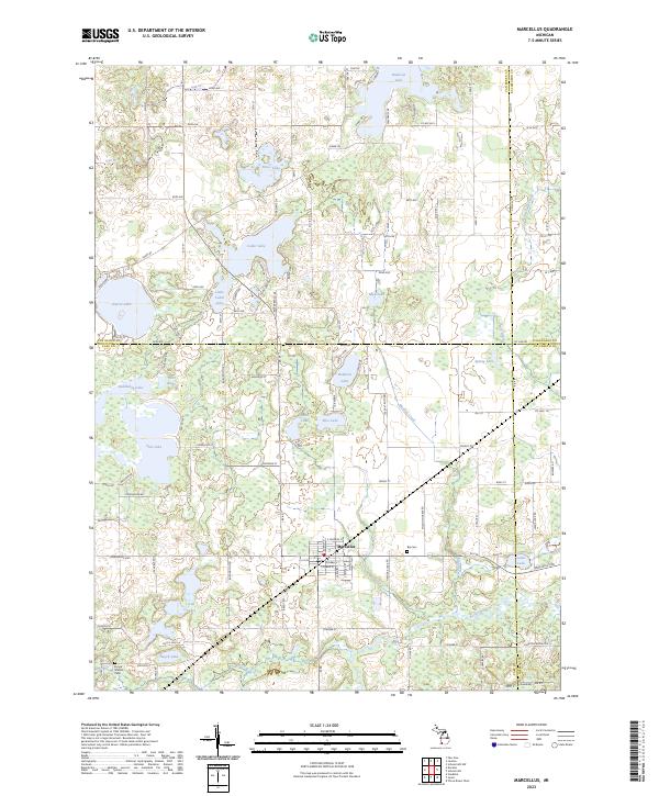
1981 Map of Marcellus
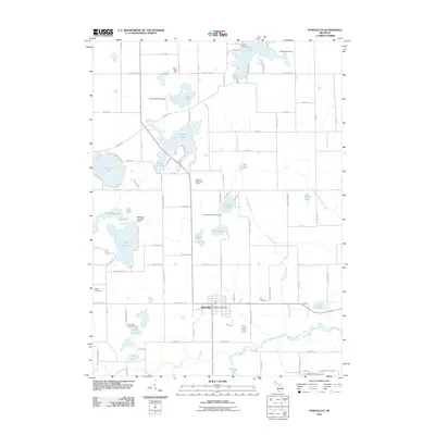
USGS Topo · Published 1982About this map
Marcellus serves as the focal point of this 1980s-era survey, positioned where the Grand Trunk Western railroad cuts across the agricultural and lake-strewn landscape of Cass and Van Buren counties. The village core is dense with local history identifiers, including the High Sch and numerous municipal service locations. Beyond the village limits, the terrain is defined by a high concentration of glacial water bodies like Bankson Lake and Gravel Lake, many of which feature established access points such as Camp Shawadasee or various boat ramps.
Find a feature on this map
64 named features on this map. Tap any name to fly to it.
Don’t see what you’re looking for? This feature index may not catch every label — zoom into the map to look around manually.
Map Details
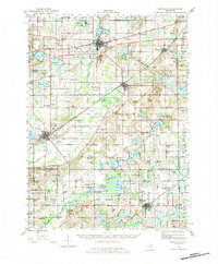
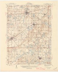
Editions of this 1981 Marcellus Map
This is the sole edition of this map. No revisions or reprints were ever made.
Historical Maps of Marcellus Through Time
8 maps found
Featured Locations
- Marcellus Township, MI
- Flowerfield Township, MI
- Prairie Ronde Township, MI
- Porter Township, MI
- Marcellus, Marcellus Township