Loading...
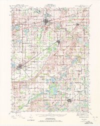
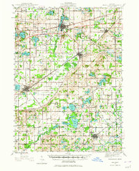
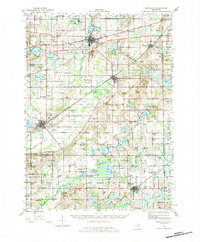
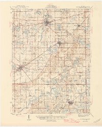
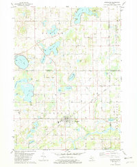
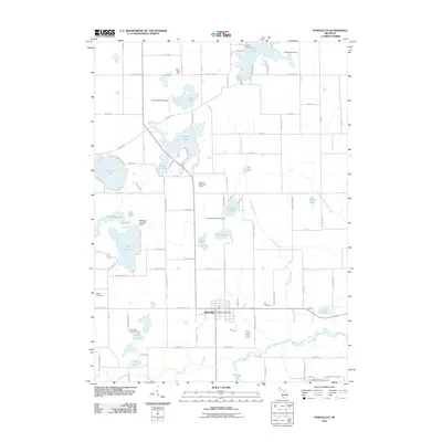
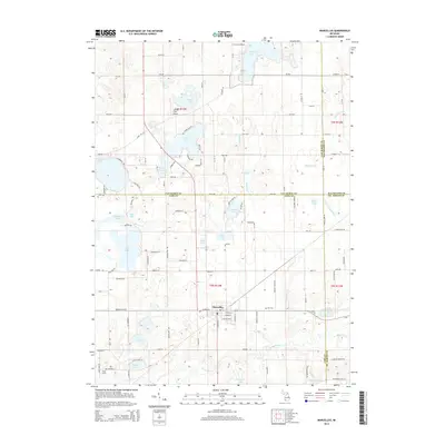
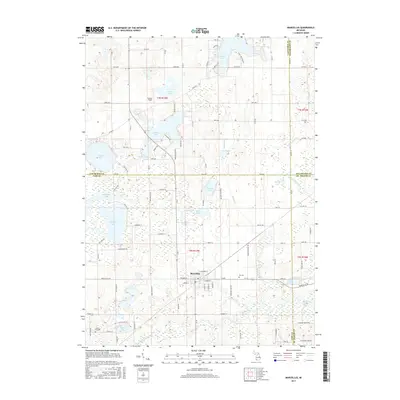
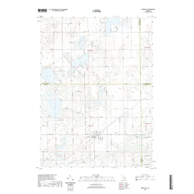
Loading map...1944 Map of Marcellus
USGS Topo · Published 1972About this map
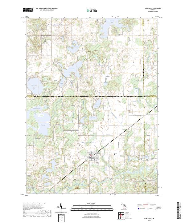
Agricultural lands and dense clusters of kettle lakes define this portion of Southwest Michigan during the mid-1940s. Centered on the village of Marcellus, the landscape is partitioned by a grid of rural schools and family-named cemeteries, reflecting a well-established settlement pattern in Van Buren and Cass counties. The transportation network is dominated by the New York Central and Grand Trunk Western railroads, which facilitated the movement of goods between hubs like Lawton and Decatur.
Find a feature on this map
101 named features on this map. Tap any name to fly to it.
Don’t see what you’re looking for? This feature index may not catch every label — zoom into the map to look around manually.
Map Details
Date Portrayed1944
Date Published1972
PublisherU.S. Geological Survey
Map TypeTopographic
Scale1:62,500
Physical Dimensions16.93 x 21.33 inches
Editions of this 1944 Marcellus Map
3 editions found
Historical Maps of Paw Paw Through Time
8 maps found
Featured Locations
- Volinia, Volinia Township
- Decatur, Decatur Township
- Mattawan, Antwerp Township
- Lawton, Antwerp Township
- Paw Paw, Paw Paw Township
Source Details
SourceU.S. Geological Survey
CopyrightPublic Domain