Loading...
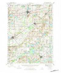
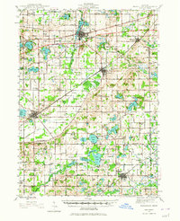
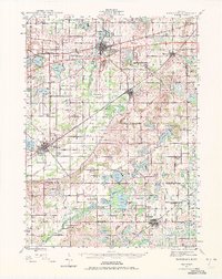
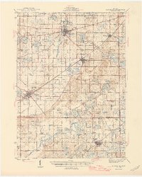
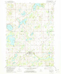
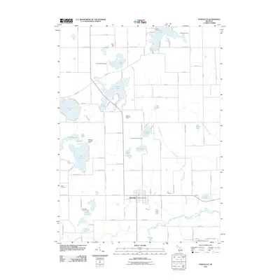
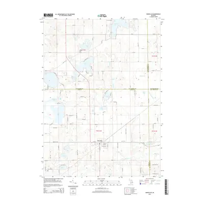
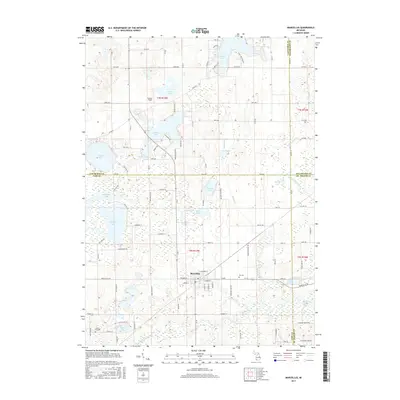
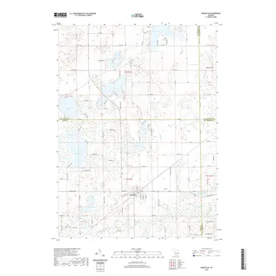
Loading map...1944 Map of Marcellus
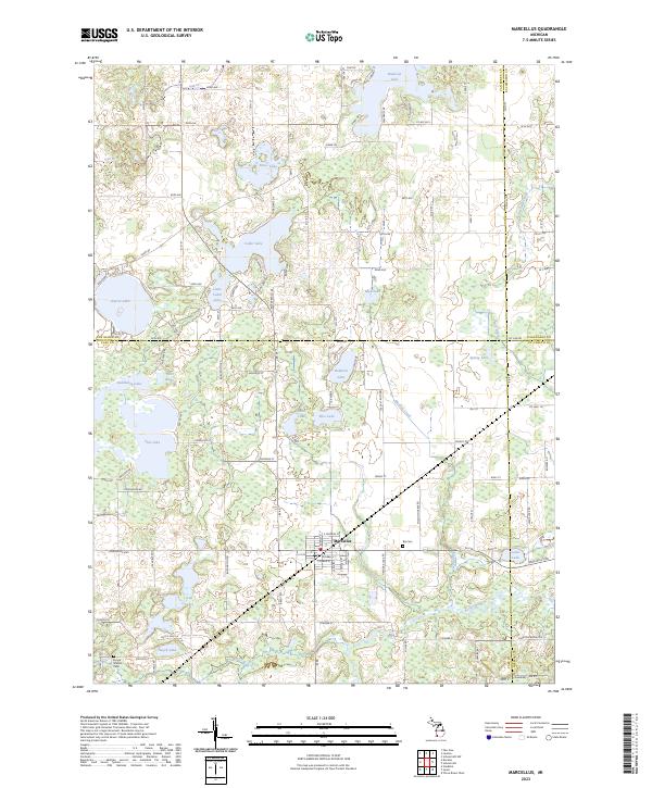
USGS Topo · Published 1983About this map
Paw Paw and Decatur serve as the primary hubs in this mid-century landscape where agricultural drainage and dozens of glacial lakes shape the terrain. The presence of the New York Central and Pere Marquette railroads highlights the era's reliance on rail transport to connect these southwestern Michigan communities. Rural life is meticulously documented through an extensive network of country schools, such as Huycktown Sch and Porter Center Sch, and numerous family and community burial grounds including Threemile Cem and Crane Cem.
Find a feature on this map
85 named features on this map. Tap any name to fly to it.
Don’t see what you’re looking for? This feature index may not catch every label — zoom into the map to look around manually.
Map Details
Date Portrayed1944
Date Published1983
PublisherU.S. Geological Survey
Map TypeTopographic
Scale1:62,500
Physical Dimensions18 x 21.8 inches
Editions of this 1944 Marcellus Map
3 editions found
Historical Maps of Paw Paw Through Time
8 maps found
Featured Locations
- Volinia, Volinia Township
- Decatur, Decatur Township
- Mattawan, Antwerp Township
- Lawton, Antwerp Township
- Paw Paw, Paw Paw Township
Source Details
SourceU.S. Geological Survey
CopyrightPublic Domain