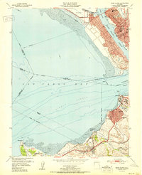
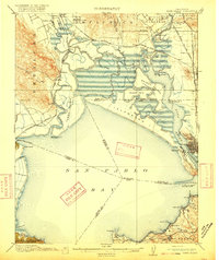
1951 Map of Mare Island
USGS Topo · Published 1951About this map
The Mare Island Naval Reservation dominates this shoreline landscape, showcasing the intense industrial and military footprint of the early Cold War era. Spanning the Mare Island Strait from Vallejo, the naval complex is flanked by wartime housing developments like Guadalcanal Village and schools such as Federal Terrace School. The map captures a high point of maritime activity where the Napa River meets the Carquinez Strait, with extensive wharfage and ferry connections serving the base and the nearby city center.
Find a feature on this map
53 named features on this map. Tap any name to fly to it.
Don’t see what you’re looking for? This feature index may not catch every label — zoom into the map to look around manually.
Map Details
Editions of this 1951 Mare Island Map
This is the sole edition of this map. No revisions or reprints were ever made.
Other maps of this area

1895 · San Francisco
USGS Topo · 1:62,500

1896 · Carquinez Strait
USGS Topo · 1:62,500

1897 · Concord
USGS Topo · 1:62,500

1898 · Karquines
USGS Topo · 1:62,500

1899 · San Francisco
USGS Topo · 1:62,500
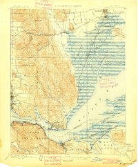
1901 · Karquines
USGS Topo · 1:62,500

1902 · Napa
USGS Topo · 1:125,000
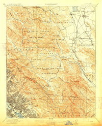
1915 · Concord
USGS Topo · 1:62,500
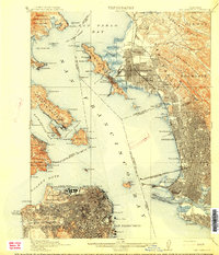
1915 · San Francisco
USGS Topo · 1:62,500
1916 · Mare Island
USGS Topo · 1:62,500