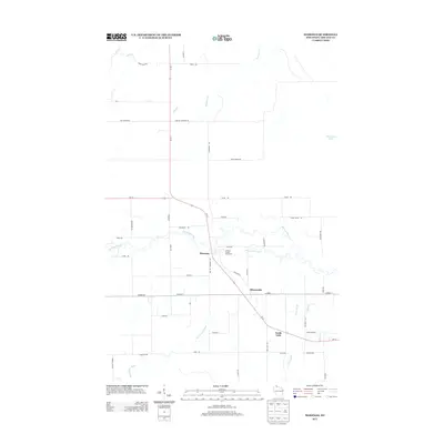
2013 Map of Marengo
USGS Topo · Published 2013About this map
The Marengo River and Brunsweiler River converge near the rural settlement of Marengo, forming a complex drainage network in northern Wisconsin. This 2013 survey highlights the geographic center of the community at the Ashland County Fairground, located just east of the village. The landscape is characterized by a dense grid of local roads named for early resident families, such as Charlie Johnson Rd, Tapani Rd, and Henry Jolma Rd, reflecting the long-standing agricultural and timber history of the region. To the southeast, the terrain follows the path of the state highway toward Minersville and North York, where Trout Brook and Billy Cr wind through the countryside. This modern topographic study preserves the naming conventions of smaller water bodies like Moonshine Lake and Hyms Cr, documenting the enduring rural character of Ashland County.
Find a feature on this map
51 named features on this map. Tap any name to fly to it.
Don’t see what you’re looking for? This feature index may not catch every label — zoom into the map to look around manually.
Map Details
Editions of this 2013 Marengo Map
This is the sole edition of this map. No revisions or reprints were ever made.
Other maps of this area

1942 · Ashland
USGS Topo · 1:48,000

1942 · Mellen
USGS Topo · 1:48,000

1942 · Marengo
USGS Topo · 1:48,000

1943 · Odanah
USGS Topo · 1:48,000

1945 · Odanah
USGS Topo · 1:48,000

1945 · Marengo
USGS Topo · 1:48,000

1945 · Mellen
USGS Topo · 1:48,000

1947 · Ashland
USGS Topo · 1:48,000

1953 · Ashland
USGS Topo · 1:250,000
1956 · Mellen
USGS Topo · 1:24,000