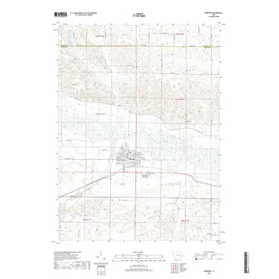
2018 Map of Marengo
USGS Topo · Published 2018About this map
Marengo serves as the central hub of this Iowa County landscape, situated just south of the winding Iowa River and the wetlands of Big Bear Creek. The town's grid is meticulously detailed, showing a street network that includes W Main St, E Washington St, and E Marion St. This 2018 survey reveals a heavy concentration of burial grounds surrounding the settlement, offering significant data for genealogical research. To the southeast, the International Order of Odd Fellows Cem and Calvary Cem sit near the town edge, while more outlying locations like Conn Cem, Bishop Cem, and the Norwegian Cem reflect the rural township patterns of the region. The map also delineates the boundary between Benton Co and Iowa Co, showing how the local road system, including Co Hwy V56 and 212th Blvd, connects these agricultural communities.
Find a feature on this map
50 named features on this map. Tap any name to fly to it.
Don’t see what you’re looking for? This feature index may not catch every label — zoom into the map to look around manually.
Map Details
Editions of this 2018 Marengo Map
This is the sole edition of this map. No revisions or reprints were ever made.
Other maps of this area

1888 · Amana
USGS Topo · 1:62,500

1889 · Amana
USGS Topo · 1:62,500

1891 · Oxford
USGS Topo · 1:62,500

1894 · Oxford
USGS Topo · 1:62,500

1899 · Amana
USGS Topo · 1:62,500

1903 · Fairfax
USGS Topo · 1:125,000

1954 · Des Moines
USGS Topo · 1:250,000

1956 · Des Moines
USGS Topo · 1:250,000

1957 · Des Moines
USGS Topo · 1:250,000

1958 · Davenport
USGS Topo · 1:250,000