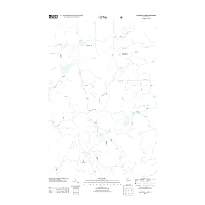
2013 Map of Marengo Lake
USGS Topo · Published 2013About this map
Morgan Falls and Saint Peters Dome Point of Interest stands as the geographic and recreational centerpiece of this northern Wisconsin landscape. Located in the Chequamegon-Nicolet National Forest area, the topography is defined by the winding course of the Marengo River and a dense network of glacial water bodies including Marengo Lake, Coffee Lake, and Beaver Lake.
Find a feature on this map
40 named features on this map. Tap any name to fly to it.
Don’t see what you’re looking for? This feature index may not catch every label — zoom into the map to look around manually.
Map Details
Editions of this 2013 Marengo Lake Map
This is the sole edition of this map. No revisions or reprints were ever made.
Other maps of this area

1942 · Clam Lake
USGS Topo · 1:48,000

1942 · Marengo
USGS Topo · 1:48,000

1943 · Namekagon Lake
USGS Topo · 1:48,000

1944 · Grandview
USGS Topo · 1:48,000

1945 · Namekagon Lake
USGS Topo · 1:48,000

1945 · Marengo
USGS Topo · 1:48,000

1945 · Clam Lake
USGS Topo · 1:48,000

1947 · Grandview
USGS Topo · 1:48,000

1953 · Ashland
USGS Topo · 1:250,000

1958 · Ashland
USGS Topo · 1:250,000