
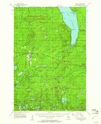
1955 Map of Marenisco
USGS Topo · Published 1957About this map
The timberlands and water systems of the Upper Peninsula take center stage in this mid-1950s survey of the Ottawa National Forest. The village of Marenisco serves as the primary hub, situated near the intersection of various transit routes including the Marenisco Landing Field and the Chicago and North Western rail line. The landscape is defined by its industrial and conservation history, featuring the Chicago and North Western Railroad Grade winding through the northern sections and fire surveillance points like Copps Lookout Tower and Marenisco Lookout Tower standing watch over the heavy forest cover.
Find a feature on this map
104 named features on this map. Tap any name to fly to it.
Don’t see what you’re looking for? This feature index may not catch every label — zoom into the map to look around manually.
Map Details
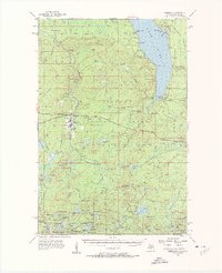
Editions of this 1955 Marenisco Map
3 editions found
Other maps of this area

1939 · Trout Lake
USGS Topo · 1:48,000

1939 · Winchester
USGS Topo · 1:48,000

1946 · Winchester
USGS Topo · 1:48,000

1946 · Star Lake
USGS Topo · 1:48,000

1946 · Trout Lake
USGS Topo · 1:48,000

1949 · Trout Lake
USGS Topo · 1:48,000

1950 · Star Lake
USGS Topo · 1:48,000

1952 · Thayer
USGS Topo · 1:62,500

1955 · Starlake
USGS Topo · 1:62,500

1955 · Boulder Junction
USGS Topo · 1:62,500