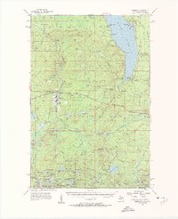
1955 Map of Marenisco
USGS Topo · Published 1961About this map
Lake Gogebic dominates the northern landscape of this survey, with its eastern shoreline dotted by small landings like White City and the recreation areas of Gogebic Lake State Park. Further south, the town of Marenisco serves as a hub for the Chicago and North Western railway, which cuts through the heavy timber of the Ottawa National Forest. The map documents a rugged timber and transportation corridor, where fire management structures like Copps Lookout Tower and Marenisco Lookout Tower overlook a network of old logging grades and river branches.
Find a feature on this map
116 named features on this map. Tap any name to fly to it.
Don’t see what you’re looking for? This feature index may not catch every label — zoom into the map to look around manually.
Map Details
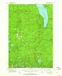
Editions of this 1955 Marenisco Map
3 editions found
Other maps of this area

1939 · Trout Lake
USGS Topo · 1:48,000

1939 · Winchester
USGS Topo · 1:48,000

1946 · Winchester
USGS Topo · 1:48,000

1946 · Star Lake
USGS Topo · 1:48,000

1946 · Trout Lake
USGS Topo · 1:48,000

1949 · Trout Lake
USGS Topo · 1:48,000

1950 · Star Lake
USGS Topo · 1:48,000

1952 · Thayer
USGS Topo · 1:62,500

1955 · Marenisco
USGS Topo · 1:62,500

1955 · Starlake
USGS Topo · 1:62,500