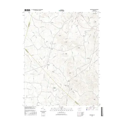
2016 Map of Maretburg
USGS Topo · Published 2016About this map
Ottawa and Spiro anchor the northern landscape of this Rockcastle County region, where the terrain is defined by a series of prominent knobs and ridges. The topography rises sharply at Backbone Ridge and McCall Knob in the northeast, while the southern reaches near Level Green and Walnut Grove are marked by a complex network of knobs including Pinnacle Knob and Friendship Knob. The local road system, featuring family-named routes like Gentry Laswell Rd and Albright Mill Rd, connects small communities such as Willailla and Wabd to the surrounding hills and creek bottoms.
Find a feature on this map
104 named features on this map. Tap any name to fly to it.
Don’t see what you’re looking for? This feature index may not catch every label — zoom into the map to look around manually.
Map Details
Editions of this 2016 Maretburg Map
This is the sole edition of this map. No revisions or reprints were ever made.
Other maps of this area

1893 · London
USGS Topo · 1:125,000

1897 · London
USGS Topo · 1:125,000

1935 · Somerset
USGS Topo · 1:62,500

1952 · Crab Orchard
USGS Topo · 1:24,000

1952 · Billows
USGS Topo · 1:24,000

1952 · Shopville
USGS Topo · 1:24,000

1952 · Woodstock
USGS Topo · 1:24,000

1953 · Maretburg
USGS Topo · 1:24,000

1953 · Wildie
USGS Topo · 1:24,000
1953 · Brodhead
USGS Topo · 1:24,000