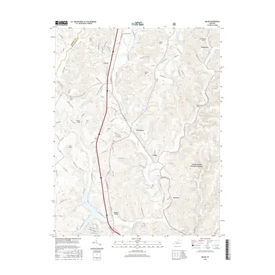
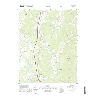
1993 Map of Maretburg
USGS Topo · Published 1996About this map
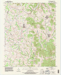
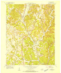
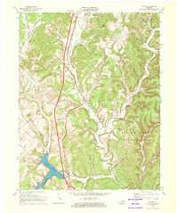
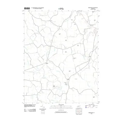
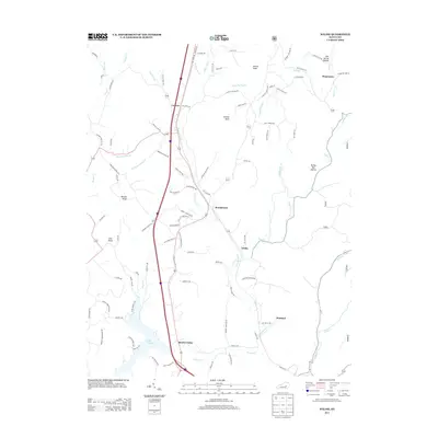
Wilderness Road cuts through the northeastern corner of this landscape, tracing the historic path toward Maretburg as the terrain shifts between the steep ridges of Lincoln and Rockcastle counties. The settlement pattern here is characterized by small crossroads communities like Quail, Willailla, and Level Green, often centered around country churches such as Denney Ch and Friendship Ch.
Find a feature on this map
40 named features on this map. Tap any name to fly to it.
Don’t see what you’re looking for? This feature index may not catch every label — zoom into the map to look around manually.
Map Details
Editions of this 1993 Maretburg Map
This is the sole edition of this map. No revisions or reprints were ever made.
Historical Maps of Ottawa Through Time
26 maps found
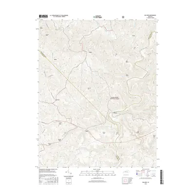
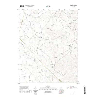
1952 Billows
Rockcastle County, KY
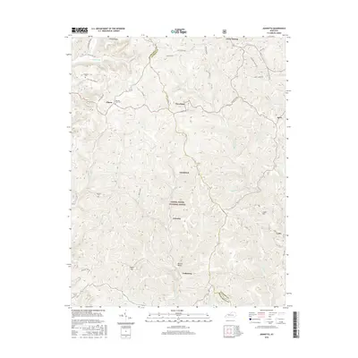
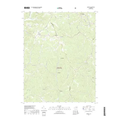
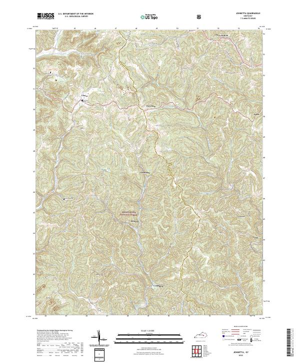
1953 Johnetta
Rockcastle County, KY
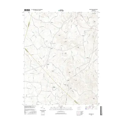
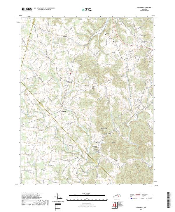
1953 Maretburg
Rockcastle County, KY
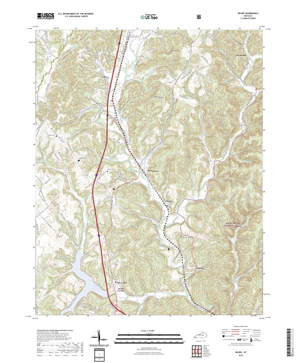
1953 Wildie
Rockcastle County, KY
1970 Wildie
Rockcastle County, KY
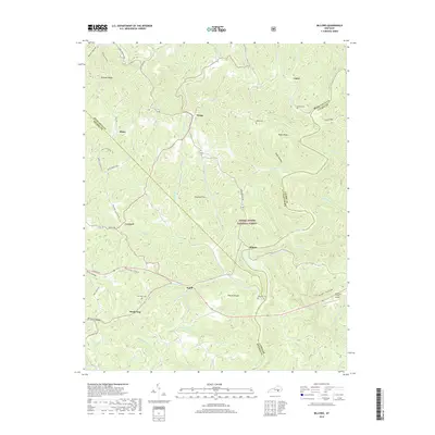
1993 Maretburg
Rockcastle County, KY
2010 Billows
Rockcastle County, KY
2010 Johnetta
Rockcastle County, KY
2010 Maretburg
Rockcastle County, KY
2010 Wildie
Rockcastle County, KY

2013 Billows
Rockcastle County, KY
2013 Johnetta
Rockcastle County, KY
2013 Maretburg
Rockcastle County, KY
2013 Wildie
Rockcastle County, KY
2016 Billows
Rockcastle County, KY
2016 Johnetta
Rockcastle County, KY
2016 Maretburg
Rockcastle County, KY
2016 Wildie
Rockcastle County, KY
2019 Billows
Rockcastle County, KY
2019 Johnetta
Rockcastle County, KY
2019 Maretburg
Rockcastle County, KY
2019 Wildie
Rockcastle County, KY

2022 Billows
Rockcastle County, KY
2022 Johnetta
Rockcastle County, KY
2022 Maretburg
Rockcastle County, KY
2022 Wildie
Rockcastle County, KY