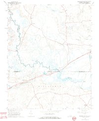
1966 Map of Margarettsville
USGS Topo · Published 1968About this map
Meherrin River serpentines across the borderlands of Virginia and North Carolina, defining a landscape of low-lying wetlands and scattered rural settlements during the mid-1960s. The Seaboard Coast Line serves as a primary transit artery, connecting the village of Margarettsville to Branchville and Hugo. This corridor reveals the transition of southern rail infrastructure, including an Old Railroad Grade north of the river and a Substation near the state line. Smaller communities such as Little Texas and Kirby anchor the upland spaces, while the Wiccacane region is characterized by dense swamp drainage, including Flat Swamp, Buckhorn Swamp, and Rogers Swamp. Local social centers are marked by rural congregations at Rising Star Ch and Sharon Ch, alongside the Southampton Speedway located in the northern reaches of the quadrangle.
Find a feature on this map
29 named features on this map. Tap any name to fly to it.
Don’t see what you’re looking for? This feature index may not catch every label — zoom into the map to look around manually.
Map Details
Editions of this 1966 Margarettsville Map
4 editions found
Other maps of this area

1919 · Boykins
USGS Topo · 1:48,000

1919 · Arringdale
USGS Topo · 1:48,000

1920 · Boykins
USGS Topo · 1:62,500

1920 · Arringdale
USGS Topo · 1:62,500

1942 · Arringdale
USGS Topo · 1:62,500

1953 · Norfolk
USGS Topo · 1:250,000
1966 · Capron
USGS Topo · 1:24,000
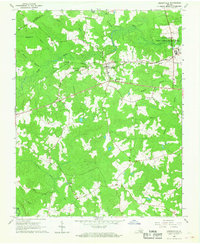
1966 · Drewryville
USGS Topo · 1:24,000

1966 · Margarettsville
USGS Topo · 1:24,000
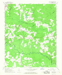
1966 · Adams Grove
USGS Topo · 1:24,000