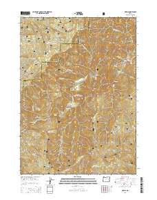
2014 Map of Marial
USGS Topo · Published 2014About this map
The Rogue River carves a deep path through the heart of Siskiyou National Forest in this 2014 survey of the southern Oregon wilderness. Centered near the remote settlement of Marial, the map illustrates a landscape defined by dramatic river features and steep canyon walls, including the notorious Blossom Bar Rapids and Stair Creek Falls. The area's isolation is underscored by the presence of small river bars like Gleason Bar and Half Moon Bar, which have long served as rare flat landings for travelers through the Mule Creek Canyon.
Find a feature on this map
59 named features on this map. Tap any name to fly to it.
Don’t see what you’re looking for? This feature index may not catch every label — zoom into the map to look around manually.
Map Details
Editions of this 2014 Marial Map
This is the sole edition of this map. No revisions or reprints were ever made.
Other maps of this area

1899 · Port Orford
USGS Topo · 1:125,000

1903 · Port Orford
USGS Topo · 1:125,000

1954 · Coos Bay
USGS Topo · 1:250,000

1954 · Bone Mountain
USGS Topo · 1:62,500

1954 · Marial
USGS Topo · 1:62,500

1954 · Agness
USGS Topo · 1:62,500

1954 · Powers
USGS Topo · 1:62,500

1955 · Medford
USGS Topo · 1:250,000

1957 · Medford
USGS Topo · 1:250,000

1958 · Medford
USGS Topo · 1:250,000