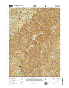
2017 Map of Marial
USGS Topo · Published 2017About this map
The Rogue River carves a deep path through the Siskiyou National Forest in this coastal range region, creating a landscape defined by dramatic river bars and treacherous water features. Remote settlements and family landmarks are preserved along the riverbanks, including the community of Marial and the nearby Mule Creek Cemetery. The river's character is marked by numerous natural hazards and stopping points such as Blossom Bar Rapids, Solitude Riffle, and the Clay Hill Rapids. Further south, the Clay Hill Cemetery sits near a bend in the water, offering a point of interest for genealogists tracing pioneer families in this isolated terrain. Uplands like Bobs Garden Mountain and Mule Mountain overlook the deep gorges of Mule Creek Canyon and Huggins Canyon, illustrating the challenging topography that limited development to the river corridor.
Find a feature on this map
69 named features on this map. Tap any name to fly to it.
Don’t see what you’re looking for? This feature index may not catch every label — zoom into the map to look around manually.
Map Details
Editions of this 2017 Marial Map
This is the sole edition of this map. No revisions or reprints were ever made.
Other maps of this area

1899 · Port Orford
USGS Topo · 1:125,000

1903 · Port Orford
USGS Topo · 1:125,000

1954 · Coos Bay
USGS Topo · 1:250,000

1954 · Bone Mountain
USGS Topo · 1:62,500

1954 · Marial
USGS Topo · 1:62,500

1954 · Agness
USGS Topo · 1:62,500

1954 · Powers
USGS Topo · 1:62,500

1955 · Medford
USGS Topo · 1:250,000

1957 · Medford
USGS Topo · 1:250,000

1958 · Medford
USGS Topo · 1:250,000