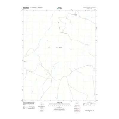
2010 Map of Mariano Wash East
USGS Topo · Published 2010About this map
Sleeping Ute Mountain and the surrounding high desert terrain dominate this landscape in southwestern Colorado. Located on tribal lands, the topography is defined by significant features named for their anthropomorphic profile, including The Knees, West Toe, and East Toe. The settlement of Mariano sits near the western edge of the sheet, where several critical drainage systems converge. These ephemeral watercourses, such as Mariano Wash, Cowboy Wash, and Aztec Wash, dictate the local geography and the placement of the sparse road network. Notable tribal and cultural sites are documented, most prominently the Sundance Ground situated in the northeast. The infrastructure is primarily composed of numbered Indian Routes, such as Indian Rte-201 and Indian Rte-238, which connect isolated settlements and grazing lands across this arid landscape.
Find a feature on this map
19 named features on this map. Tap any name to fly to it.
Don’t see what you’re looking for? This feature index may not catch every label — zoom into the map to look around manually.
Map Details
Editions of this 2010 Mariano Wash East Map
This is the sole edition of this map. No revisions or reprints were ever made.
Other maps of this area

1956 · Cortez
USGS Topo · 1:250,000

1957 · Moqui SW
USGS Topo · 1:24,000

1957 · Moqui SE
USGS Topo · 1:24,000

1958 · Sentinel Peak NW
USGS Topo · 1:24,000

1958 · Cortez SW
USGS Topo · 1:24,000

1958 · Sentinel Peak NE
USGS Topo · 1:24,000

1958 · Cortez
USGS Topo · 1:250,000

1959 · Cortez
USGS Topo · 1:250,000

1962 · Cortez
USGS Topo · 1:250,000

1966 · Cortez
USGS Topo · 1:250,000