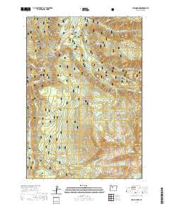
2020 Map of Marion Forks
USGS Topo · Published 2020About this map
Marion Forks serves as the primary human landmark in this section of the Willamette National Forest, situated where the confluence of mountain waters shapes the local geography. The area is defined by the course of the North Santiam River, which winds through the terrain alongside secondary drainages like Bugaboo Cr. This 2020 edition reflects the modern Forest Service road network and land management boundaries that characterize the central Oregon Cascades. The settlement at Marion Forks remains a focal point for travelers and forestry operations, positioned amidst a landscape primarily dedicated to timber and watershed protection. The map detail highlights the intricate drainage patterns and elevation changes that dictate the placement of local infrastructure and recreation access points within the river valley.
Find a feature on this map
3 named features on this map. Tap any name to fly to it.
Don’t see what you’re looking for? This feature index may not catch every label — zoom into the map to look around manually.
Map Details
Editions of this 2020 Marion Forks Map
This is the sole edition of this map. No revisions or reprints were ever made.
Other maps of this area

1927 · Mt. Jefferson
USGS Topo · 1:125,000

1929 · Mill City
USGS Topo · 1:125,000

1929 · Three Sisters
USGS Topo · 1:125,000

1930 · Mt. Jefferson
USGS Topo · 1:125,000

1932 · Three Sisters
USGS Topo · 1:125,000

1934 · Mc Kenzie Bridge
USGS Topo · 1:96,000

1940 · Mc Kenzie Bridge
USGS Topo · 1:125,000

1953 · Salem
USGS Topo · 1:250,000

1954 · Salem
USGS Topo · 1:250,000

1955 · Echo Mountain
USGS Topo · 1:62,500