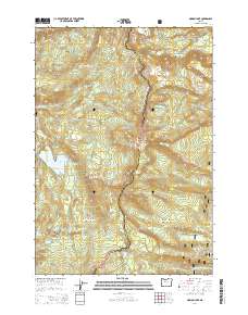
2014 Map of Marion Lake
USGS Topo · Published 2014About this map
Marion Lake and the surrounding high-altitude terrain form the centerpiece of this 2014 survey, which covers a significant portion of the Cascade Range boundary. The Linn Co Jefferson Co line bisects the area, also serving as the demarcation between the Willamette National Forest and the Deschutes National Forest. A critical historical and recreational corridor, the Pacific Crest National Scenic Trail winds north-to-south along the volcanic crest, passing landmark heights like Rockpile Mtn and Cinder Peak. Genealogists and local historians may find interest in the isolated John Swallow Grave located near Midget Lake. The landscape is densely packed with water bodies, from the sprawling Eight Lakes Basin to the remote Bingham Lake and Lake of the Woods, illustrating the glaciated hydrology of this volcanic wilderness.
Find a feature on this map
73 named features on this map. Tap any name to fly to it.
Don’t see what you’re looking for? This feature index may not catch every label — zoom into the map to look around manually.
Map Details
Editions of this 2014 Marion Lake Map
This is the sole edition of this map. No revisions or reprints were ever made.
Other maps of this area

1927 · Mt. Jefferson
USGS Topo · 1:125,000

1929 · Three Sisters
USGS Topo · 1:125,000

1930 · Mt. Jefferson
USGS Topo · 1:125,000

1932 · Three Sisters
USGS Topo · 1:125,000

1955 · Bend
USGS Topo · 1:250,000

1957 · Bend
USGS Topo · 1:250,000

1958 · Bend
USGS Topo · 1:250,000

1959 · Three Fingered Jack
USGS Topo · 1:62,500

1959 · Sisters
USGS Topo · 1:62,500

1961 · Whitewater River
USGS Topo · 1:62,500