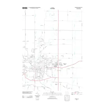
2013 Map of Marion
USGS Topo · Published 2013About this map
Indian Cr and Squaw Cr define the drainage and development patterns of this northern Linn County landscape. Residential expansion is evident through the established streets of the Eagle Ridge Community and Squaw Creek Village, which are integrated into the suburban fabric near the Marion Airport. The map shows a transition from structured residential blocks to more open land uses, including large recreational spaces like the Hunters Ridge Golf Course and the Squaw Creek Municipal Golf Course. Beyond the immediate residential hubs, the terrain is partitioned by a network of rural roads such as Prairie Chapel Rd and Co Home Rd, where numerous small tributaries like Crabapple Cr and Berrys Run intersect the grid. This survey provides a look at the intersection of municipal growth and the agricultural roots that historically shaped the region.
Find a feature on this map
44 named features on this map. Tap any name to fly to it.
Don’t see what you’re looking for? This feature index may not catch every label — zoom into the map to look around manually.
Map Details
Editions of this 2013 Marion Map
This is the sole edition of this map. No revisions or reprints were ever made.
Other maps of this area

1887 · Cedar Rapids
USGS Topo · 1:62,500

1888 · Marion
USGS Topo · 1:62,500

1889 · Marion
USGS Topo · 1:62,500

1890 · Anamosa
USGS Topo · 1:62,500

1891 · Mechanicsville
USGS Topo · 1:62,500

1891 · Cedar Rapids
USGS Topo · 1:62,500

1894 · Mechanicsville
USGS Topo · 1:62,500

1900 · Anamosa
USGS Topo · 1:125,000

1901 · Stanwood
USGS Topo · 1:125,000

1903 · Fairfax
USGS Topo · 1:125,000