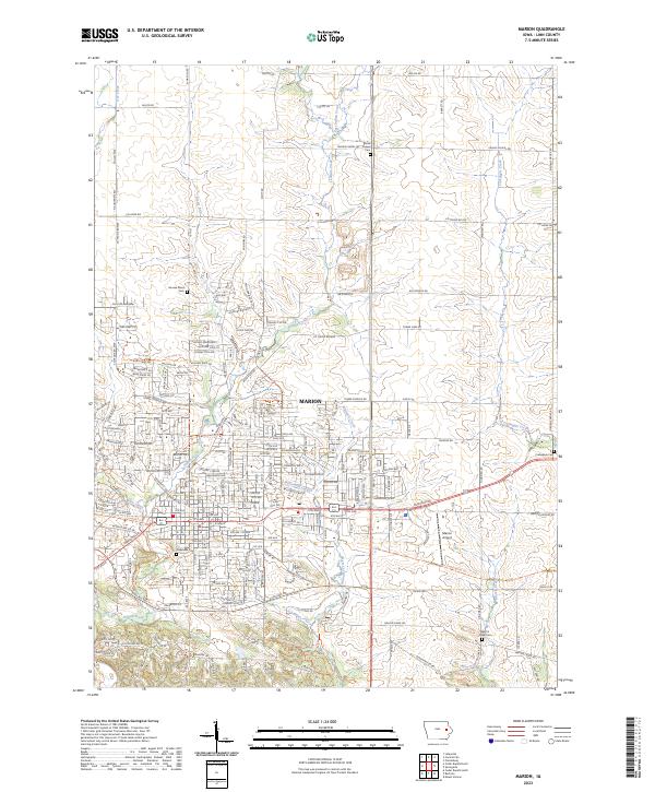
2023 Map of Marion
USGS Topo · Published 2023About this map
Marion anchors this section of Linn County, where a dense network of suburban residential streets and arterial roads meets the structured rural landscape of eastern Iowa. The area is defined by several prominent drainages, including Indian Creek and its tributaries like Willowood Creek and Wanatee Creek, which carve through the terrain as it transitions from the city center toward the more open country. Notable rural landmarks include the Hoosier Bend area and the Marion Airport located east of the city limits. This survey provides a contemporary perspective on local history through several well-preserved burial grounds, such as Oakshade Cem in the heart of the settlement and the more outlying Prairie Chapel Cem and Martin Creek Cem, reflecting generations of land use. The map follows the evolution of regional transportation from established routes like Co Trunk Rd E34 to the modern residential clusters expanding near Dry Creek.
Find a feature on this map
109 named features on this map. Tap any name to fly to it.
Don’t see what you’re looking for? This feature index may not catch every label — zoom into the map to look around manually.
Map Details
Editions of this 2023 Marion Map
This is the sole edition of this map. No revisions or reprints were ever made.
Other maps of this area

1887 · Cedar Rapids
USGS Topo · 1:62,500

1888 · Marion
USGS Topo · 1:62,500

1889 · Marion
USGS Topo · 1:62,500

1890 · Anamosa
USGS Topo · 1:62,500

1891 · Mechanicsville
USGS Topo · 1:62,500

1891 · Cedar Rapids
USGS Topo · 1:62,500

1894 · Mechanicsville
USGS Topo · 1:62,500

1900 · Anamosa
USGS Topo · 1:125,000

1901 · Stanwood
USGS Topo · 1:125,000

1903 · Fairfax
USGS Topo · 1:125,000