Loading...
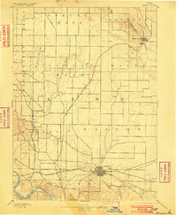
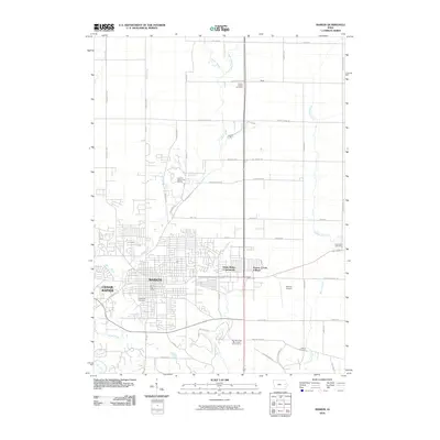
Loading map...1889 Map of Marion
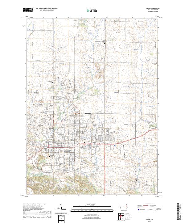
USGS Topo · Published 1902About this map
The growing railroad junction at Marion anchors this 1888 survey, showcasing a landscape defined by the arrival of major industrial transportation lines. Three significant rail corridors—the Illinois Central Railroad, the Chicago Milwaukee and St. Paul Railroad, and the Burlington Cedar Rapids and Northern Railroad—intersect here, illustrating the transition from a purely agrarian economy to a regional transport hub.
Find a feature on this map
20 named features on this map. Tap any name to fly to it.
Don’t see what you’re looking for? This feature index may not catch every label — zoom into the map to look around manually.
Map Details
Date Portrayed1889
Date Published1902
PublisherU.S. Geological Survey
Map TypeTopographic
Scale1:62,500
Physical Dimensions16 x 19.5 inches
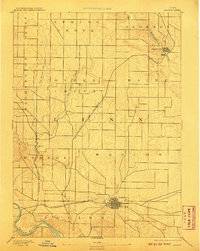
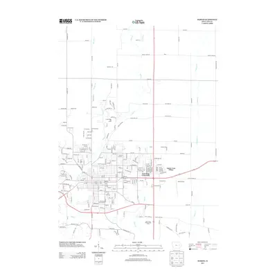
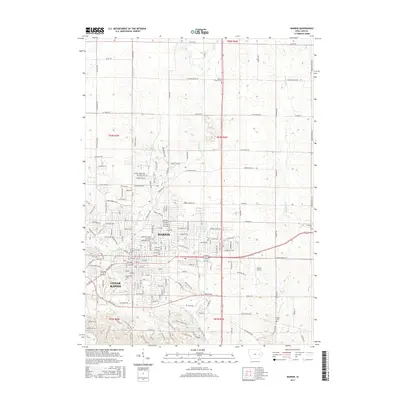
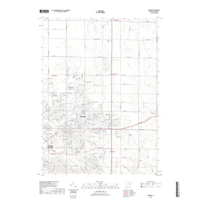
Editions of this 1889 Marion Map
3 editions found

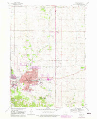
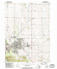
Historical Maps of Cedar Rapids Through Time
9 maps found

Featured Locations
Source Details
SourceU.S. Geological Survey
CopyrightPublic Domain