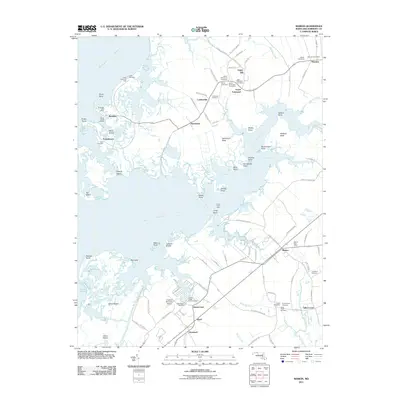
2011 Map of Marion
USGS Topo · Published 2011About this map
Manokin and the surrounding marshlands of Somerset County define this coastal landscape where the Manokin River meets the Chesapeake's intricate estuaries. The map details a network of historic shoreline communities including Upper Fairmount, Rumbley, and Frenchtown, each connected by narrow roads that thread through the wetlands and across various necks of land. These settlements are characterized by their proximity to the water, with features like Goose Creek Marina and Mine Island illustrating the maritime orientation of the region.
Find a feature on this map
113 named features on this map. Tap any name to fly to it.
Don’t see what you’re looking for? This feature index may not catch every label — zoom into the map to look around manually.
Map Details
Editions of this 2011 Marion Map
This is the sole edition of this map. No revisions or reprints were ever made.
Other maps of this area

1903 · Crisfield
USGS Topo · 1:62,500

1903 · Deal Island
USGS Topo · 1:62,500

1920 · Crisfield
USGS Topo · 1:62,500

1942 · Terrapin Sand Point
USGS Topo · 1:24,000

1942 · Great Fox Island
USGS Topo · 1:24,000

1942 · Marion
USGS Topo · 1:24,000

1942 · Deal Island
USGS Topo · 1:24,000

1942 · Monie
USGS Topo · 1:24,000

1942 · Kingston
USGS Topo · 1:24,000

1942 · Princess Anne
USGS Topo · 1:24,000