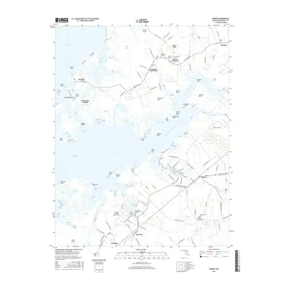
2016 Map of Marion
USGS Topo · Published 2016About this map
The marshlands and tidal inlets of Somerset County define this coastal landscape, where the Big Annemessex River meets the eastern shore of the Chesapeake Bay. Small maritime communities like Landonville, Rumbley, and Upper Fairmount are connected by a network of winding roads such as Fairmount Rd and Rumbley Rd, reflecting a long-standing reliance on the water. The map documents several legacy burial sites, including the Quindocqua Cem and Saint Stephens Cem, which serve as vital touchstones for family historians tracing the region's lineages.
Find a feature on this map
130 named features on this map. Tap any name to fly to it.
Don’t see what you’re looking for? This feature index may not catch every label — zoom into the map to look around manually.
Map Details
Editions of this 2016 Marion Map
This is the sole edition of this map. No revisions or reprints were ever made.
Other maps of this area

1903 · Crisfield
USGS Topo · 1:62,500

1903 · Deal Island
USGS Topo · 1:62,500

1920 · Crisfield
USGS Topo · 1:62,500

1942 · Terrapin Sand Point
USGS Topo · 1:24,000

1942 · Great Fox Island
USGS Topo · 1:24,000

1942 · Marion
USGS Topo · 1:24,000

1942 · Deal Island
USGS Topo · 1:24,000

1942 · Monie
USGS Topo · 1:24,000

1942 · Kingston
USGS Topo · 1:24,000

1942 · Princess Anne
USGS Topo · 1:24,000