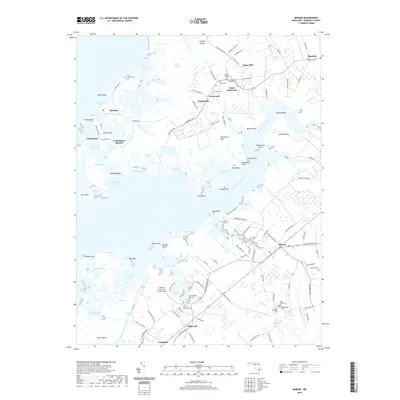
2019 Map of Marion
USGS Topo · Published 2019About this map
The Big Annemessex River and its intricate network of marshes and coves dominate this portion of Somerset County, where the transition between land and water defines local life. Smaller settlements such as Upper Fairmount, Landonville, and Marion are clustered along the inland roads, while the waterfront hamlets of Rumbley and Frenchtown provide access to the expansive Flatcap Basin and Shirtpond Cove. This coastal environment is marked by numerous islands and points, including Janes Island and Fairmount Neck, illustrating the reliance on the water for both transport and industry.
Find a feature on this map
140 named features on this map. Tap any name to fly to it.
Don’t see what you’re looking for? This feature index may not catch every label — zoom into the map to look around manually.
Map Details
Editions of this 2019 Marion Map
This is the sole edition of this map. No revisions or reprints were ever made.
Other maps of this area

1903 · Crisfield
USGS Topo · 1:62,500

1903 · Deal Island
USGS Topo · 1:62,500

1920 · Crisfield
USGS Topo · 1:62,500

1942 · Terrapin Sand Point
USGS Topo · 1:24,000

1942 · Great Fox Island
USGS Topo · 1:24,000

1942 · Marion
USGS Topo · 1:24,000

1942 · Deal Island
USGS Topo · 1:24,000

1942 · Monie
USGS Topo · 1:24,000

1942 · Kingston
USGS Topo · 1:24,000

1942 · Princess Anne
USGS Topo · 1:24,000