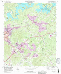
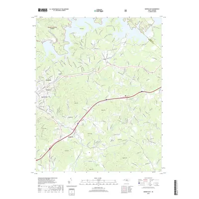
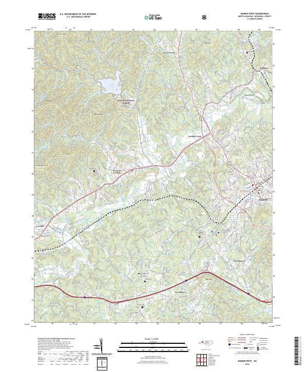
1994 Map of Marion West
USGS Topo · Published 1998About this map
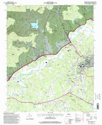
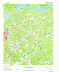
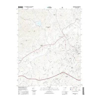
Pisgah National Forest dominates the northern landscape of this region, where the steep slopes of Fork Mountain and Feds Mountain overlook the waters of Lake Tahoma. This survey, revised in the mid-1990s, illustrates the development of the Catawba River valley as it transitions from the forested uplands into the residential and civic hub of Marion. The map captures the infrastructure of the era, from the Drive-In Theater near Pleasant Gardens to the McDowell High School campus.
Find a feature on this map
75 named features on this map. Tap any name to fly to it.
Don’t see what you’re looking for? This feature index may not catch every label — zoom into the map to look around manually.
Map Details
Editions of this 1994 Marion West Map
This is the sole edition of this map. No revisions or reprints were ever made.
Historical Maps of Marion Through Time
38 maps found
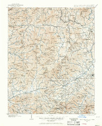
1900 Mount Mitchell
McDowell County, NC
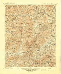
1902 Mount Mitchell
McDowell County, NC

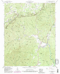
1934 Parts Of Old Fort and Montreat
McDowell County, NC
1960 Little Switzerland
McDowell County, NC
1962 Marion East
McDowell County, NC
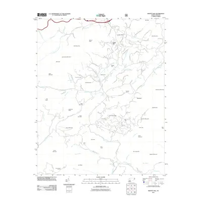
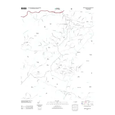
1982 Moffitt Hill
McDowell County, NC
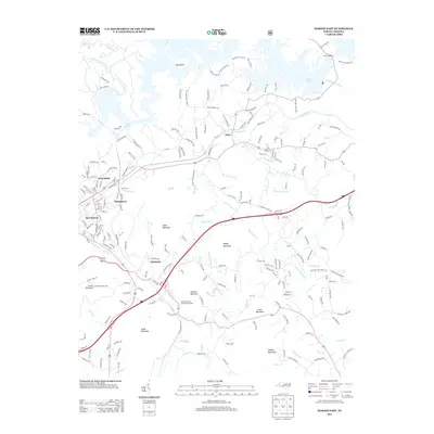
1985 Marion West
McDowell County, NC
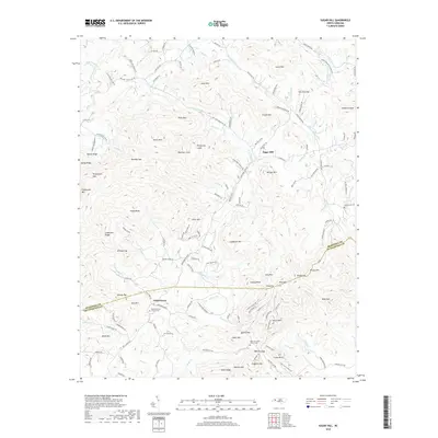
1985 Sugar Hill
McDowell County, NC
1993 Marion East
McDowell County, NC
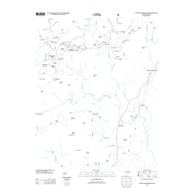
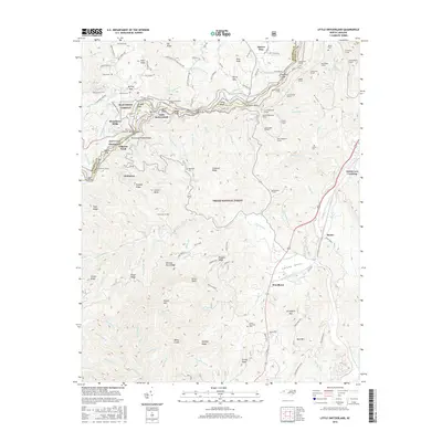
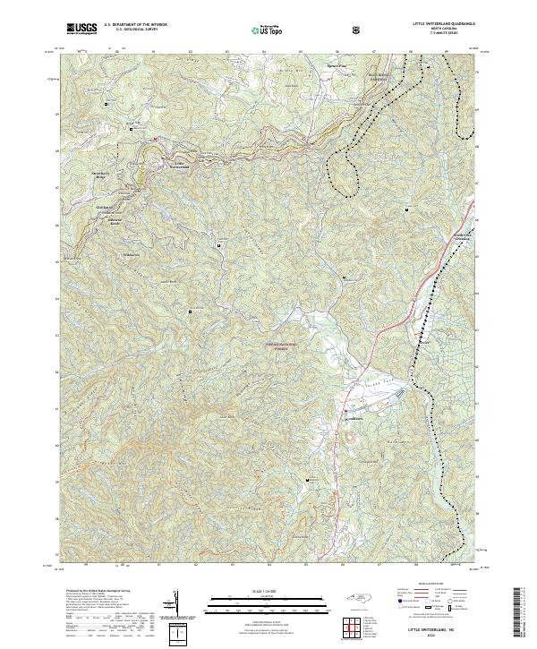
1994 Little Switzerland
McDowell County, NC
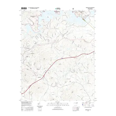
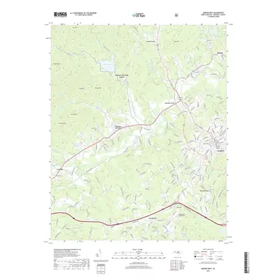
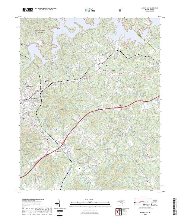
1994 Marion East
McDowell County, NC
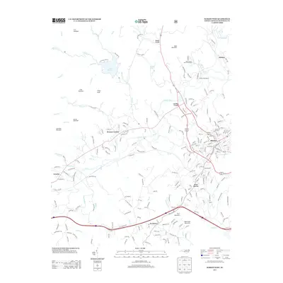
1994 Marion West
McDowell County, NC
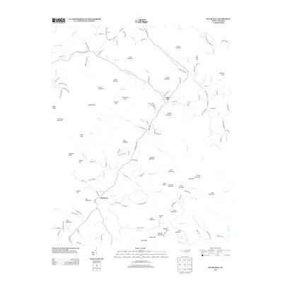
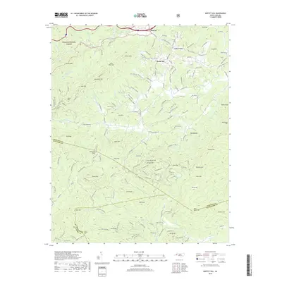
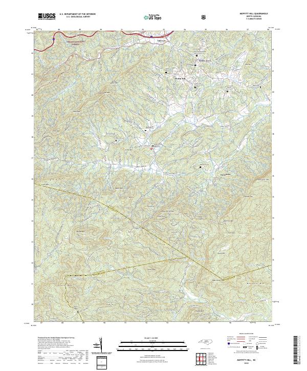
1994 Moffitt Hill
McDowell County, NC
2010 Sugar Hill
McDowell County, NC
2011 Little Switzerland
McDowell County, NC
2011 Marion East
McDowell County, NC
2011 Marion West
McDowell County, NC
2011 Moffitt Hill
McDowell County, NC
2013 Little Switzerland
McDowell County, NC
2013 Marion East
McDowell County, NC
2013 Marion West
McDowell County, NC
2013 Moffitt Hill
McDowell County, NC
2013 Sugar Hill
McDowell County, NC
2016 Little Switzerland
McDowell County, NC
2016 Marion East
McDowell County, NC
2016 Marion West
McDowell County, NC
2016 Moffitt Hill
McDowell County, NC
2016 Sugar Hill
McDowell County, NC
2019 Little Switzerland
McDowell County, NC
2019 Marion East
McDowell County, NC
2019 Marion West
McDowell County, NC
2019 Moffitt Hill
McDowell County, NC
2019 Sugar Hill
McDowell County, NC
2022 Little Switzerland
McDowell County, NC
2022 Marion East
McDowell County, NC
2022 Marion West
McDowell County, NC
2022 Moffitt Hill
McDowell County, NC
2022 Sugar Hill
McDowell County, NC