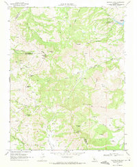
1969 Map of Mariposa Peak
USGS Topo · Published 1971About this map
Mariposa Peak stands at the center of this high-relief terrain in late 1960s California, where the borders of Santa Clara, Merced, and San Benito counties converge. The landscape is defined by its mining history and rugged cattle country, evidenced by the presence of the Ambrose Mine, Mariposa Mine, and Stayton Mine alongside established holdings like French Ranch and Pfeiffer Ranch. The map reveals a complex network of canyons and ridges, including Peckham Ridge and Twin Peaks, which transition into the drainage basins of Los Banos Creek North Fork and the Arroyo de las Viboras. In the northeast corner, the San Luis Reservoir State Recreation Area marks a significant water management and recreational feature, while several springs and gulches like Spicer Gulch highlight the hydrology of this semi-arid upland environment.
Find a feature on this map
44 named features on this map. Tap any name to fly to it.
Don’t see what you’re looking for? This feature index may not catch every label — zoom into the map to look around manually.
Map Details
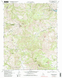
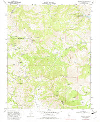
Editions of this 1969 Mariposa Peak Map
3 editions found
Other maps of this area

1919 · Hollister
USGS Topo · 1:48,000

1920 · Pacheco Pass
USGS Topo · 1:62,500

1921 · Gilroy Hot Springs
USGS Topo · 1:62,500

1921 · Hollister
USGS Topo · 1:62,500

1922 · Quien Sabe
USGS Topo · 1:62,500

1922 · San Luis Creek
USGS Topo · 1:31,680

1923 · Hollister
USGS Topo · 1:62,500

1939 · Gilroy Hot Springs
USGS Topo · 1:62,500

1940 · Gilroy Hot Springs
USGS Topo · 1:62,500

1940 · Hollister
USGS Topo · 1:62,500