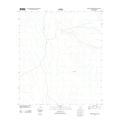
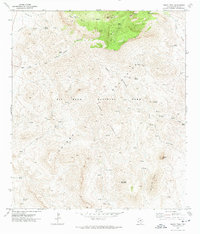
2012 Map of Mariscal Mountain
USGS Topo · Published 2012About this map
Mariscal Mtn dominates the southern landscape of Brewster County in this 2012 survey, standing as a prominent landmark in this desert region. The map details a network of ephemeral drainage patterns, most notably the seasonal course of Fresno Cr, which winds through the arid terrain toward the south. Water sources are sparse but critical here, exemplified by the location of Solis Spring in the northeastern portion of the quadrangle. Transportation through this isolated stretch of West Texas is defined by unpaved corridors, specifically Black Gap Rd and Talley Rd, which provide the primary access to this interior wilderness. The lack of named settlements or modern developments highlights the preservation of this remote environment, where natural landforms and isolated water points remain the primary navigational markers for researchers and explorers.
Find a feature on this map
5 named features on this map. Tap any name to fly to it.
Don’t see what you’re looking for? This feature index may not catch every label — zoom into the map to look around manually.
Map Details
Editions of this 2012 Mariscal Mountain Map
This is the sole edition of this map. No revisions or reprints were ever made.
Other maps of this area

1903 · Chisos Mountains
USGS Topo · 1:125,000

1905 · Chisos Mountains
USGS Topo · 1:125,000

1959 · Emory Peak
USGS Topo · 1:250,000

1965 · Emory Peak
USGS Topo · 1:250,000
1970 · Solis
USGS Topo · 1:24,000

1971 · Glenn Spring
USGS Topo · 1:24,000
1971 · Reed Camp
USGS Topo · 1:24,000
1971 · San Vicente
USGS Topo · 1:24,000
1971 · Emory Peak
USGS Topo · 1:24,000

1985 · Chisos Mountains
USGS Topo · 1:100,000