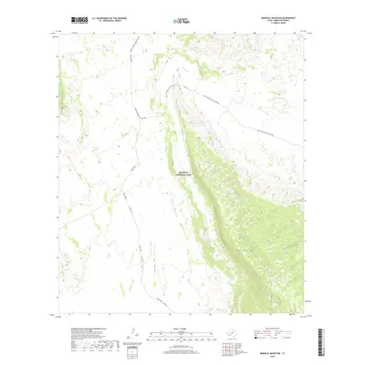
2019 Map of Mariscal Mountain
USGS Topo · Published 2019About this map
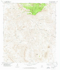
Big Bend National Park dominates this desert landscape, where the dramatic elevation of Mariscal Mtn and its Mariscal Rim define the southern reaches of the region. A network of unpaved desert routes, including the Talley Road and Black Gap Rd, connects the remote terrain to the historic Glenn Springs to Hot Springs track. These paths follow the natural contours of the land, moving around the foothills of the Chisos Mountains and crossing ephemeral drainages like Fresno Cr. The availability of water in this arid environment is highlighted by Solis Spring, a critical landmark for travelers navigating the canyons and plateaus. This topographic survey records the modern state of the park's interior, showing how late-20th-century roads utilize traditional corridors through features like Cross Canyon.
Find a feature on this map
12 named features on this map. Tap any name to fly to it.
Don’t see what you’re looking for? This feature index may not catch every label — zoom into the map to look around manually.
Map Details
Editions of this 2019 Mariscal Mountain Map
This is the sole edition of this map. No revisions or reprints were ever made.
Other maps of this area

1903 · Chisos Mountains
USGS Topo · 1:125,000

1905 · Chisos Mountains
USGS Topo · 1:125,000

1959 · Emory Peak
USGS Topo · 1:250,000

1965 · Emory Peak
USGS Topo · 1:250,000
1970 · Solis
USGS Topo · 1:24,000

1971 · Glenn Spring
USGS Topo · 1:24,000
1971 · Reed Camp
USGS Topo · 1:24,000
1971 · San Vicente
USGS Topo · 1:24,000
1971 · Emory Peak
USGS Topo · 1:24,000

1985 · Chisos Mountains
USGS Topo · 1:100,000