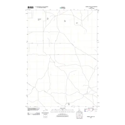
2010 Map of Market Lake NE
USGS Topo · Published 2010About this map
Sheepherder Monument Butte and Little Grassy Butte rise above the high desert floor in this 2010 survey of Jefferson County. The landscape is defined by its distinct volcanic topography, including Big Grassy Butte and Gerber Butte, which provided significant landmarks for early travelers and sheepherders. The terrain reflects the transition from open grazing land to a modern grid of county roads such as E 2300 N and E 2200 N.
Find a feature on this map
12 named features on this map. Tap any name to fly to it.
Don’t see what you’re looking for? This feature index may not catch every label — zoom into the map to look around manually.
Map Details
Editions of this 2010 Market Lake NE Map
This is the sole edition of this map. No revisions or reprints were ever made.
Other maps of this area
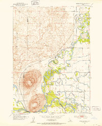
1951 · Menan Buttes
USGS Topo · 1:24,000

1951 · Plano
USGS Topo · 1:24,000

1955 · Dubois
USGS Topo · 1:250,000

1955 · Idaho Falls
USGS Topo · 1:250,000

1955 · Ashton
USGS Topo · 1:250,000

1955 · Driggs
USGS Topo · 1:250,000

1958 · Driggs
USGS Topo · 1:250,000

1958 · Dubois
USGS Topo · 1:250,000

1958 · Idaho Falls
USGS Topo · 1:250,000

1958 · Ashton
USGS Topo · 1:250,000