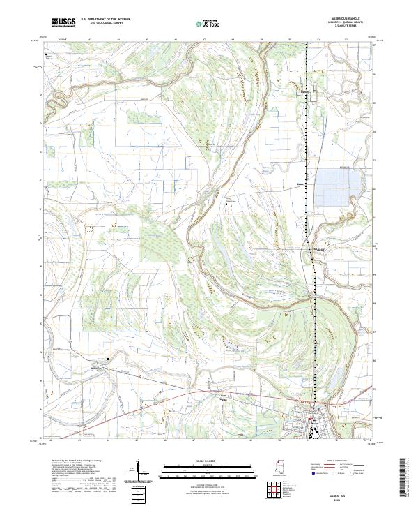
2024 Map of Marks
USGS Topo · Published 2024About this map
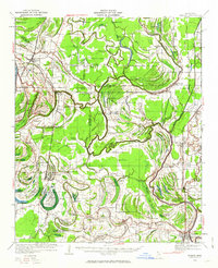
Marks serves as the focal point of this Mississippi Delta landscape, situated at the confluence where Coldwater River and Cassidy Bayou define the local topography. The map reveals a high concentration of water features characteristic of the region, from the wide Whiting Brake and Whiting Lake to the winding Burrell Bayou. These waterways shaped the development of early settlements like Belen, once a county seat, and Hinchcliff, which are connected by a network of rural roads such as Belen Rd and Wilson Lake Rd.
Find a feature on this map
69 named features on this map. Tap any name to fly to it.
Don’t see what you’re looking for? This feature index may not catch every label — zoom into the map to look around manually.
Map Details
Editions of this 2024 Marks Map
This is the sole edition of this map. No revisions or reprints were ever made.
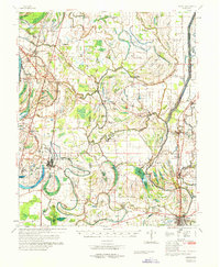
Historical Maps of Darling Through Time
6 maps found