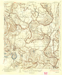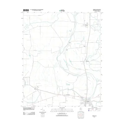
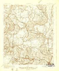
1932 Map of Marks
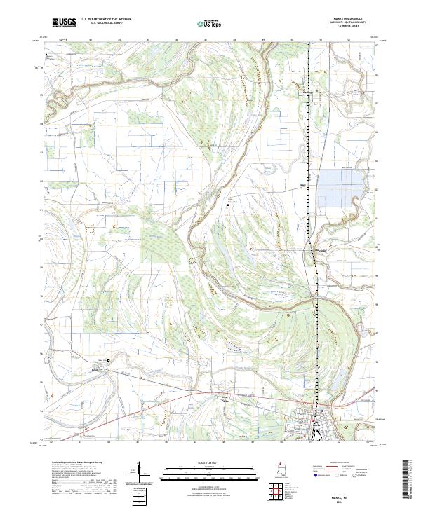
USGS Topo · Published 1963About this map
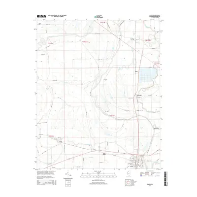
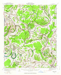
Coldwater River and the Yazoo and Mississippi Valley RR define the settlement patterns of the Mississippi Delta in this early 1930s survey. The landscape is a dense network of oxbow lakes and bayous, including curiosities like Flea Harbor Lake and Deadman Lake, reflecting the region's complex hydrological history before modern flood control. This map is particularly rich for genealogical research, documenting a high density of rural institutions such as Swan Lake College, the County Farm, and numerous local landmarks like Strangers Rest Ch, Jazzland Ch, and Posey Mound.
Find a feature on this map
113 named features on this map. Tap any name to fly to it.
Don’t see what you’re looking for? This feature index may not catch every label — zoom into the map to look around manually.
Map Details
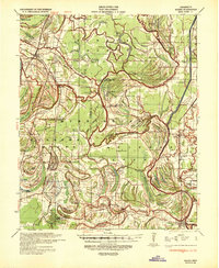
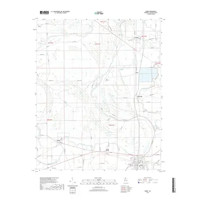
Editions of this 1932 Marks Map
2 editions found
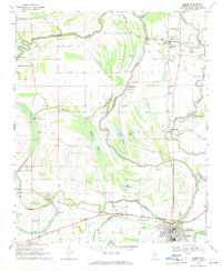
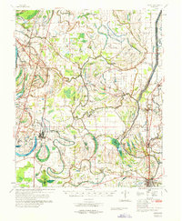
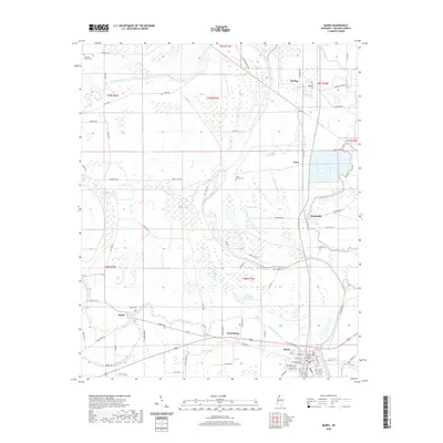
Historical Maps of Marks Through Time
10 maps found