Loading...
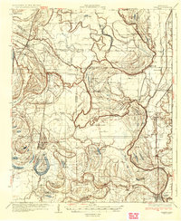
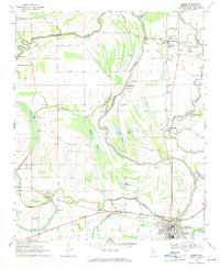
Loading map...1935 Map of Marks
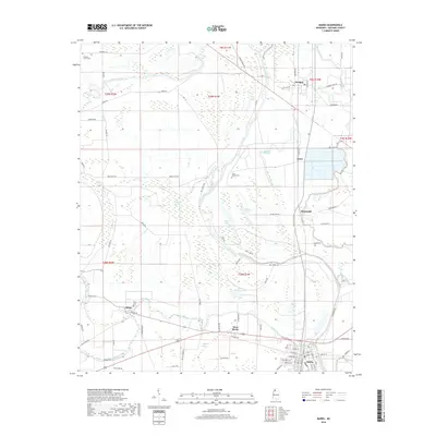
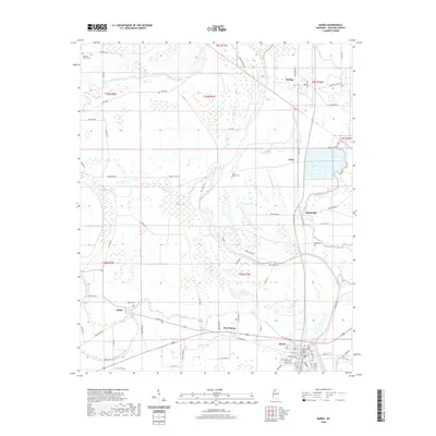
USGS Topo · Published 1935About this map
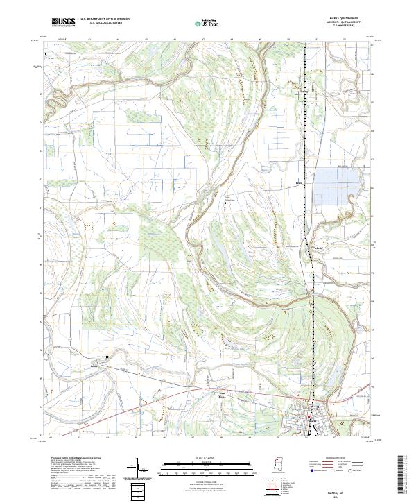
Coldwater River meanders through this portion of the Mississippi Delta, defining a landscape of complex oxbow lakes and alluvial bottomlands in the mid-1930s. The region is heavily marked by its social and educational infrastructure, notably featuring Swan Lake College and an extensive network of country schools such as Griffin Sch and Arkadelphia Sch. Cultural life centers on numerous small congregations, including Old May Bethel Ch and Macklin Chapel, reflecting the dense rural settlement patterns of the era.
Find a feature on this map
107 named features on this map. Tap any name to fly to it.
Don’t see what you’re looking for? This feature index may not catch every label — zoom into the map to look around manually.
Map Details
Date Portrayed1935
Date Published1935
PublisherU.S. Geological Survey
Map TypeTopographic
Scale1:62,500
Physical Dimensions16.4 x 20 inches
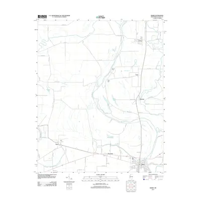
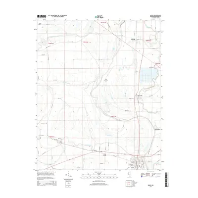
Editions of this 1935 Marks Map
2 editions found
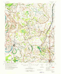
Historical Maps of Marks Through Time
10 maps found
Featured Locations
Source Details
SourceU.S. Geological Survey
CopyrightPublic Domain