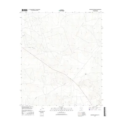
2016 Map of Marlboro Canyon SE
USGS Topo · Published 2016About this map
China Draw provides the primary drainage through this arid stretch of the Edwards Plateau in West Texas. The landscape is defined by its topographic relief, where numerous unnamed canyons and draws intersect to form the Marlboro Canyon SE region. Settlement is sparse, represented primarily by a network of ranch and county roads that navigate the complex elevation changes. The infrastructure recorded here, including Amacker Rd, Ranch Loop Rd, and Co Rd 485, reflects the enduring rural character and ranching legacy of Upton County. This survey illustrates how human passage is dictated by the natural contours of the draws and ridges that dominate the terrain southeast of the larger Marlboro Canyon system.
Find a feature on this map
5 named features on this map. Tap any name to fly to it.
Don’t see what you’re looking for? This feature index may not catch every label — zoom into the map to look around manually.
Map Details
Editions of this 2016 Marlboro Canyon SE Map
This is the sole edition of this map. No revisions or reprints were ever made.
Other maps of this area

1928 · Crane
USGS Topo · 1:125,000

1928 · Rankin
USGS Topo · 1:125,000

1954 · Pecos
USGS Topo · 1:250,000

1954 · San Angelo
USGS Topo · 1:250,000

1957 · Pecos
USGS Topo · 1:250,000

1958 · San Angelo
USGS Topo · 1:250,000

1965 · San Angelo
USGS Topo · 1:250,000

1970 · Lindsey Ranch
USGS Topo · 1:24,000

1970 · Sevenmile Corner
USGS Topo · 1:24,000
1970 · Rankin
USGS Topo · 1:24,000