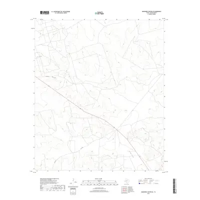
2019 Map of Marlboro Canyon SE
USGS Topo · Published 2019About this map
China Draw provides the primary drainage system for this corner of Upton County, carving a seasonal watercourse through the West Texas landscape. The terrain is defined by a series of subtle ridges and draws, reflecting the arid character of the Permian Basin region. Human footprint here is concentrated along a network of ranching and utility corridors, including Amacker Rd and Ranch Loop Rd, which trace the higher ground above the drainages. State Highway 329 cuts diagonally through the center of the sheet, serving as the main artery connecting the remote ranch lands. This 2019 survey documents the modern road infrastructure, such as Co Rd 485 and Co Rd 160, used to access the various parcels and potential energy resources that characterize this part of the state.
Find a feature on this map
5 named features on this map. Tap any name to fly to it.
Don’t see what you’re looking for? This feature index may not catch every label — zoom into the map to look around manually.
Map Details
Editions of this 2019 Marlboro Canyon SE Map
This is the sole edition of this map. No revisions or reprints were ever made.
Other maps of this area

1928 · Crane
USGS Topo · 1:125,000

1928 · Rankin
USGS Topo · 1:125,000

1954 · Pecos
USGS Topo · 1:250,000

1954 · San Angelo
USGS Topo · 1:250,000

1957 · Pecos
USGS Topo · 1:250,000

1958 · San Angelo
USGS Topo · 1:250,000

1965 · San Angelo
USGS Topo · 1:250,000

1970 · Lindsey Ranch
USGS Topo · 1:24,000

1970 · Sevenmile Corner
USGS Topo · 1:24,000
1970 · Rankin
USGS Topo · 1:24,000