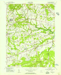
1954 Map of Marlboro
USGS Topo · Published 1956About this map
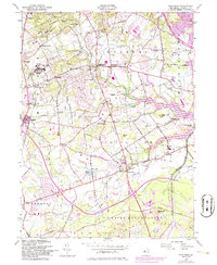
Marlboro State Hospital dominates the northwestern landscape of this mid-century survey, surrounded by the quiet rural crossroads of Wickatunk, Bradevelt, and Hillsdale. To the south, the massive U S Naval Reservation Earle Ammunition Depot marks a significant military presence in Monmouth County, with the Pennsylvania Railroad providing a direct industrial link to the facility. The terrain is defined by the Hominy Hills and the winding course of Big Brook, while the eastern portion of the map shows the Swimming River Reservoir near the settlement of Phalanx. Transport networks are transitioning here, with the modern Garden State Parkway cutting through the northeast corner, contrasting with the established local paths like Laird Road and the Central RR of New Jersey line. Smaller communities such as Colts Neck, Scobeyville, and Vanderburg maintain their historic footprints, centered around local landmarks like St Marys Ch and the Township School.
Find a feature on this map
56 named features on this map. Tap any name to fly to it.
Don’t see what you’re looking for? This feature index may not catch every label — zoom into the map to look around manually.
Map Details
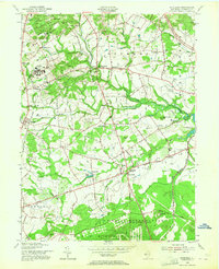
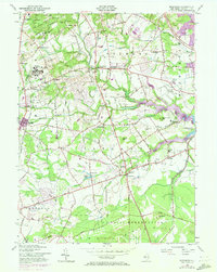
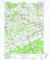
Editions of this 1954 Marlboro Map
5 editions found
Other maps of this area

1888 · New Brunswick
USGS Topo · 1:62,500

1888 · Asbury Park
USGS Topo · 1:62,500

1888 · Cassville
USGS Topo · 1:62,500

1888 · Sandy Hook
USGS Topo · 1:62,500

1893 · New Brunswick
USGS Topo · 1:62,500

1893 · Sandy Hook
USGS Topo · 1:62,500

1893 · Asbury Park
USGS Topo · 1:62,500

1894 · Cassville
USGS Topo · 1:62,500

1900 · Cassville
USGS Topo · 1:62,500

1901 · New Brunswick
USGS Topo · 1:62,500
Featured Places
- Middletown Township, NJ
- Howell Township, NJ
- Marlboro Township, NJ
- Freehold Township, NJ
- Wall Township, NJ