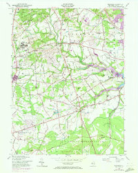
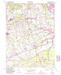
1954 Map of Marlboro
USGS Topo · Published 1972About this map
Marlboro State Hospital and its adjacent State Hospital Cem anchor the western portion of this mid-century Monmouth County landscape, just as suburban expansion began to touch the rural edges of these traditional farming townships. The map documents a transition from agricultural crossroads like Pleasant Valley Crossroads and Smocks Corners to a more integrated residential and institutional geography. The Central Railroad of New Jersey cuts through the western corridor, serving the village of Wickatunk, while the southeastern corner is dominated by the sprawling U S Naval Reservation. Significant local landmarks include the Township School in Colts Neck and the Swimming River Reservoir on the eastern boundary. The presence of the Garden State Parkway in the northeast indicates the arrival of the modern transportation network that would soon redefine this area's connectivity to the broader New Jersey region.
Find a feature on this map
76 named features on this map. Tap any name to fly to it.
Don’t see what you’re looking for? This feature index may not catch every label — zoom into the map to look around manually.
Map Details
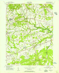
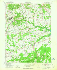
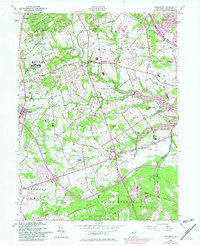
Editions of this 1954 Marlboro Map
5 editions found
Other maps of this area

1888 · New Brunswick
USGS Topo · 1:62,500

1888 · Asbury Park
USGS Topo · 1:62,500

1888 · Cassville
USGS Topo · 1:62,500

1888 · Sandy Hook
USGS Topo · 1:62,500

1893 · New Brunswick
USGS Topo · 1:62,500

1893 · Sandy Hook
USGS Topo · 1:62,500

1893 · Asbury Park
USGS Topo · 1:62,500

1894 · Cassville
USGS Topo · 1:62,500

1900 · Cassville
USGS Topo · 1:62,500

1901 · New Brunswick
USGS Topo · 1:62,500
Featured Places
- Middletown Township, NJ
- Howell Township, NJ
- Marlboro Township, NJ
- Freehold Township, NJ
- Wall Township, NJ