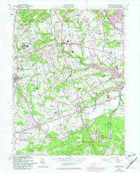
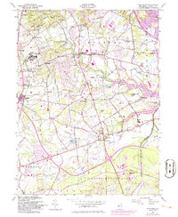
1954 Map of Marlboro
USGS Topo · Published 1982About this map
Marlboro State Hospital and its associated State Hospital Cem stand as significant mid-century landmarks in this Monmouth County landscape, which transitions from organized institutional grounds to the sprawling U S Naval Reservation in the south. The area is defined by a series of small, established communities like Wickatunk, Morganville, and Colts Neck, many of which were historically linked by the Central Railroad of New Jersey. The eastern edge is dominated by the Swimming River Reservoir, while the interior terrain is marked by the Pleasant Hills and the Hominy Hills.
Find a feature on this map
61 named features on this map. Tap any name to fly to it.
Don’t see what you’re looking for? This feature index may not catch every label — zoom into the map to look around manually.
Map Details
Editions of this 1954 Marlboro Map
5 editions found
Other maps of this area

1888 · New Brunswick
USGS Topo · 1:62,500

1888 · Asbury Park
USGS Topo · 1:62,500

1888 · Cassville
USGS Topo · 1:62,500

1888 · Sandy Hook
USGS Topo · 1:62,500

1893 · New Brunswick
USGS Topo · 1:62,500

1893 · Sandy Hook
USGS Topo · 1:62,500

1893 · Asbury Park
USGS Topo · 1:62,500

1894 · Cassville
USGS Topo · 1:62,500

1900 · Cassville
USGS Topo · 1:62,500

1901 · New Brunswick
USGS Topo · 1:62,500
Featured Places
- Middletown Township, NJ
- Howell Township, NJ
- Marlboro Township, NJ
- Freehold Township, NJ
- Wall Township, NJ