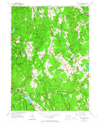
1953 Map of Marlborough
USGS Topo · Published 1964About this map
Lake Terramuggus and the village of Marlborough anchor the southern reaches of this mid-century survey, illustrating a landscape defined by state-managed forests and high ridgelines. The transition between Hartford and Tolland counties is marked by significant acreage dedicated to Meshomasic State Forest and Salmon River State Forest. This period shows a network of named roads like the New Haven and Hartford Road and Boston Road connecting small rural settlements and scattered family-named hills.
Find a feature on this map
72 named features on this map. Tap any name to fly to it.
Don’t see what you’re looking for? This feature index may not catch every label — zoom into the map to look around manually.
Map Details
Editions of this 1953 Marlborough Map
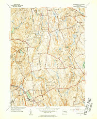
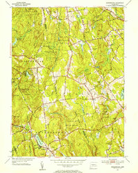
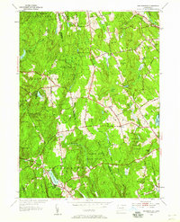
4 editions found
Other maps of this area

1892 · Hartford
USGS Topo · 1:62,500

1892 · Tolland
USGS Topo · 1:62,500

1892 · Gilead
USGS Topo · 1:62,500

1893 · Middletown
USGS Topo · 1:62,500

1906 · Farmington
USGS Topo · 1:125,000

1921 · Tolland
USGS Topo · 1:62,500

1928 · Glastonbury
USGS Topo · 1:24,000

1928 · Manchester
USGS Topo · 1:24,000

1944 · Manchester
USGS Topo · 1:31,680

1944 · Marlboro
USGS Topo · 1:31,680