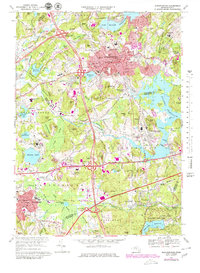
1969 Map of Marlborough
USGS Topo · Published 1979About this map
The industrial and institutional landscape of Marlborough and Southborough is captured during a period of significant suburban infrastructure expansion. Large-scale public works dominate the terrain, notably the sprawling Sudbury Reservoir and the Westborough State Hospital complex near Chauncy Lake. The transportation network reveals a transition from traditional rail to modern highway dominance, with the Massachusetts Toll Road and Interstate 495 intersecting near older rail lines like the Conrail and Boston and Maine RR.
Find a feature on this map
95 named features on this map. Tap any name to fly to it.
Don’t see what you’re looking for? This feature index may not catch every label — zoom into the map to look around manually.
Map Details
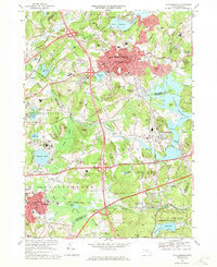
Editions of this 1969 Marlborough Map
2 editions found
Other maps of this area

1886 · Blackstone
USGS Topo · 1:62,500

1886 · Framingham
USGS Topo · 1:62,500

1887 · Franklin
USGS Topo · 1:62,500

1887 · Marlboro
USGS Topo · 1:62,500

1889 · Marlboro
USGS Topo · 1:62,500

1889 · Blackstone
USGS Topo · 1:62,500

1889 · Franklin
USGS Topo · 1:62,500

1889 · Framingham
USGS Topo · 1:62,500

1893 · Franklin
USGS Topo · 1:62,500

1893 · Blackstone
USGS Topo · 1:62,500