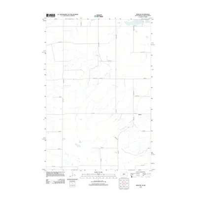
2012 Map of Marlow
USGS Topo · Published 2012About this map
Marlow stands as the central point of interest in this survey of the borderlands between South Dakota and North Dakota. The landscape is defined by its glacial hydrology, most notably the eastern expanse of Lake Tewaukon and the adjacent White Lake in the northeastern corner. These water bodies, along with Quant Slough, suggest the wetland character of the region, which is further drained by the winding course of LaBelle Cr in the south. The mapping reveals a strictly organized section-line road grid, where routes like Co Hwy-7 and Marlow Ln provide the primary infrastructure for this agricultural territory. This 2012 documentation serves as a precise record of the rural settlement patterns and natural drainage features at the start of the second decade of the 21st century.
Find a feature on this map
28 named features on this map. Tap any name to fly to it.
Don’t see what you’re looking for? This feature index may not catch every label — zoom into the map to look around manually.
Map Details
Editions of this 2012 Marlow Map
This is the sole edition of this map. No revisions or reprints were ever made.
Other maps of this area

1907 · Wyndmere
USGS Topo · 1:125,000

1953 · Milbank
USGS Topo · 1:250,000

1953 · Fargo
USGS Topo · 1:250,000

1954 · Kidder SE
USGS Topo · 1:24,000

1956 · Fargo
USGS Topo · 1:250,000

1956 · Havana
USGS Topo · 1:24,000

1958 · Milbank
USGS Topo · 1:250,000

1958 · Hillhead
USGS Topo · 1:24,000

1958 · Veblen
USGS Topo · 1:24,000

1958 · Marlow
USGS Topo · 1:24,000