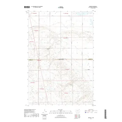
2017 Map of Marlow
USGS Topo · Published 2017About this map
Marlow sits at the southern edge of this landscape where the high plains of the Coteau des Prairies begin to transition into the glacial till of the surrounding lowlands. This survey illustrates the intricate drainage patterns and small depressions characteristic of the region, visible in the north through White Lake and the marshy Quant Slough. The landscape is defined by the straight-line geography of the late 20th and early 21st centuries, where section lines are traced by gravel roads like Co Rd 5 and Co Hwy 2. The boundary between North Dakota and South Dakota bisects the sheet, separating Sargent Co and Marshall Co. This map captures a rural interior focused on agriculture and land management, where local landmarks like Marlow Ln provide the primary navigational markers in an otherwise sparsely populated prairie environment.
Find a feature on this map
25 named features on this map. Tap any name to fly to it.
Don’t see what you’re looking for? This feature index may not catch every label — zoom into the map to look around manually.
Map Details
Editions of this 2017 Marlow Map
This is the sole edition of this map. No revisions or reprints were ever made.
Other maps of this area

1907 · Wyndmere
USGS Topo · 1:125,000

1953 · Milbank
USGS Topo · 1:250,000

1953 · Fargo
USGS Topo · 1:250,000

1954 · Kidder SE
USGS Topo · 1:24,000

1956 · Fargo
USGS Topo · 1:250,000

1956 · Havana
USGS Topo · 1:24,000

1958 · Milbank
USGS Topo · 1:250,000

1958 · Hillhead
USGS Topo · 1:24,000

1958 · Veblen
USGS Topo · 1:24,000

1958 · Marlow
USGS Topo · 1:24,000