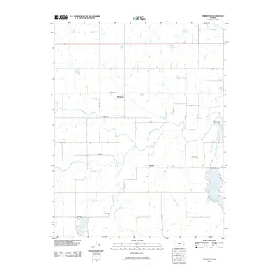
2010 Map of Marmaton
USGS Topo · Published 2010About this map
Marmaton and the nearby communities of Ronald and Hollister anchor this section of Bourbon County, where the landscape is defined by the winding course of the Marmaton River. This 2010 survey illustrates a region shaped by managed water resources, from the significant Lake Fort Scott on the eastern edge to the Elm Creek Lake and Bourbon County Dam in the southwest. Local history is grounded in sites like the Marmaton Cemetery, while the presence of the Fort Scott Municipal Airport and multiple dams, including the Rock Creek Lake Dam and Fort Scott Municipal Dam, indicates the intersection of modern infrastructure with the natural drainage basins of Pawnee Creek and Paint Creek. The map provides a clear record of the rural road network, including historic alignments like Kansas Rd and Katy Rd, which connect these dispersed settlements across the prairie.
Find a feature on this map
39 named features on this map. Tap any name to fly to it.
Don’t see what you’re looking for? This feature index may not catch every label — zoom into the map to look around manually.
Map Details
Editions of this 2010 Marmaton Map
This is the sole edition of this map. No revisions or reprints were ever made.
Other maps of this area

1884 · Fort Scott
USGS Topo · 1:125,000

1886 · Fort Scott
USGS Topo · 1:125,000

1893 · Fort Scott
USGS Topo · 1:125,000

1947 · Joplin
USGS Topo · 1:250,000

1948 · Mulberry
USGS Topo · 1:62,500

1948 · Girard
USGS Topo · 1:62,500
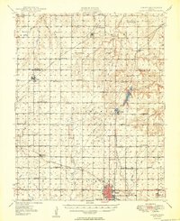
1949 · Girard
USGS Topo · 1:62,500

1949 · Joplin
USGS Topo · 1:250,000
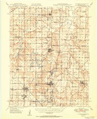
1950 · Mulberry
USGS Topo · 1:62,500

1954 · Joplin
USGS Topo · 1:250,000