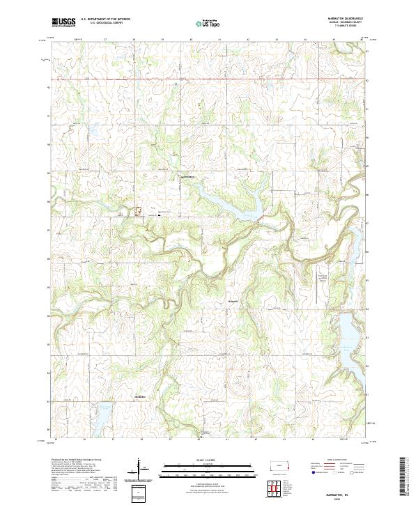
2022 Map of Marmaton
USGS Topo · Published 2022About this map
The Marmaton River carves a winding path through the center of this Bourbon County landscape, defining the topography of an area steeped in Kansas frontier history. Small rural settlements like Marmaton and Hollister serve as focal points for a grid of section roads, including the notably named Katy Rd and Jayhawk Rd. This 2022 survey captures the modern rural character of the region, where family legacies are preserved at Marmaton Cem and Pleasant Valley Cem. The southeastern corner of the map shows a shift toward infrastructure and recreation, featuring the Fort Scott Municipal Airport and the waters of Lake Fort Scott. Water is a persistent theme across the terrain, with numerous tributaries such as Paint Cr and Cedar Cr feeding into the primary river valley.
Find a feature on this map
53 named features on this map. Tap any name to fly to it.
Don’t see what you’re looking for? This feature index may not catch every label — zoom into the map to look around manually.
Map Details
Editions of this 2022 Marmaton Map
This is the sole edition of this map. No revisions or reprints were ever made.
Other maps of this area

1884 · Fort Scott
USGS Topo · 1:125,000

1886 · Fort Scott
USGS Topo · 1:125,000

1893 · Fort Scott
USGS Topo · 1:125,000

1947 · Joplin
USGS Topo · 1:250,000

1948 · Mulberry
USGS Topo · 1:62,500

1948 · Girard
USGS Topo · 1:62,500
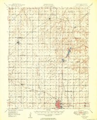
1949 · Girard
USGS Topo · 1:62,500

1949 · Joplin
USGS Topo · 1:250,000
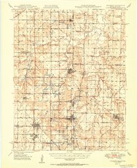
1950 · Mulberry
USGS Topo · 1:62,500

1954 · Joplin
USGS Topo · 1:250,000