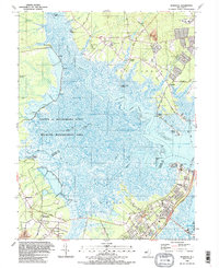
1989 Map of Marmora
USGS Topo · Published 1989About this map
The Great Egg Harbor River and the Tuckahoe River converge in this coastal landscape, defining a network of tidal flats and marshlands dominated by the Lester G Macnamara State Wildlife Management Area. The map illustrates the transition from the upland woods of Atlantic County to the estuaries of Cape May County. Inland settlements like Petersburg and Marmora are connected by local routes such as Tuckahoe Road, while the Garden State Parkway serves as a modern corridor cutting through the eastern edge toward Beesleys Point. Local history is preserved in the placement of the Seaside Cem and several community landmarks including Asbury Ch and Palestine Ch. The landscape is dotted with evidence of local resource extraction, such as multiple Gravel Pits, and maritime access points like English Creek Landing and the Gibson Landing Boat Ramp.
Find a feature on this map
81 named features on this map. Tap any name to fly to it.
Don’t see what you’re looking for? This feature index may not catch every label — zoom into the map to look around manually.
Map Details
Editions of this 1989 Marmora Map
2 editions found
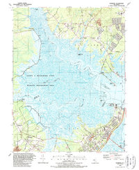
Other maps of this area

1884 · Sea Isle
USGS Topo · 1:62,500

1888 · Dennisville
USGS Topo · 1:62,500

1888 · Sea Isle
USGS Topo · 1:62,500

1890 · Great Egg Harbor
USGS Topo · 1:62,500

1890 · Tuckahoe
USGS Topo · 1:62,500

1893 · Great Egg Harbor
USGS Topo · 1:62,500

1893 · Tuckahoe
USGS Topo · 1:62,500

1894 · Dennisville
USGS Topo · 1:62,500

1894 · Sea Isle
USGS Topo · 1:62,500

1918 · Great Egg Harbor
USGS Topo · 1:62,500