2023 Map of Marne
USGS Topo · Published 2023About this map
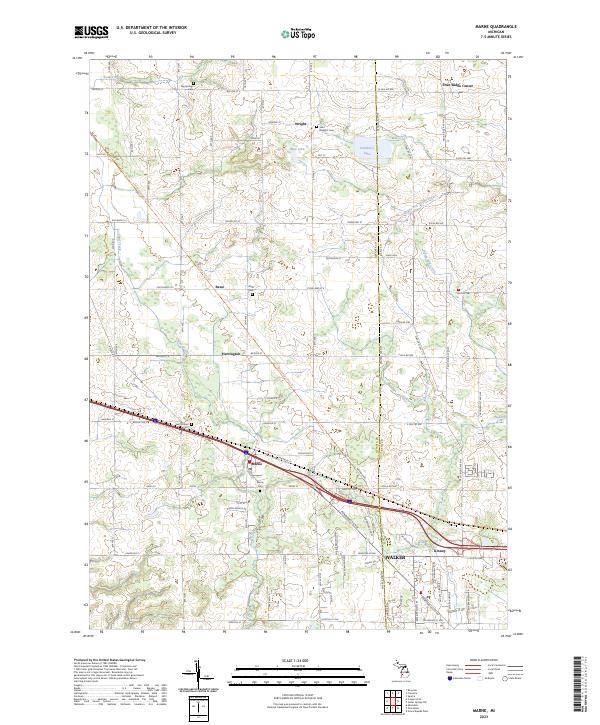
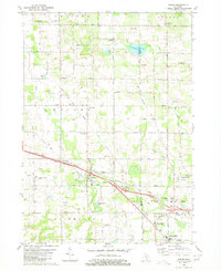
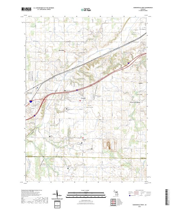
Marne and its surrounding agricultural landscape sit at the center of this modern survey, where the township lines of t8n r13w and t7n r13w meet. The map reveals a dense network of local history, marked by small settlements like Reno, Herrington, and Wright. For genealogists and local historians, numerous burial grounds are documented throughout the area, including Big Springs Cem in the north and the Marne Cem near the town center.
Find a feature on this map
69 named features on this map. Tap any name to fly to it.
Don’t see what you’re looking for? This feature index may not catch every label — zoom into the map to look around manually.
Map Details
Editions of this 2023 Marne Map
This is the sole edition of this map. No revisions or reprints were ever made.
Historical Maps of Kinney Through Time
14 maps found
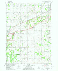
1972 Borculo
Ottawa County, MI
1972 Holland East
Ottawa County, MI
1972 Holland West
Ottawa County, MI
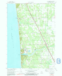
1972 Port Sheldon
Ottawa County, MI
1980 Hudsonville East
Ottawa County, MI
1980 Hudsonville West
Ottawa County, MI
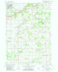
1980 Marne
Ottawa County, MI
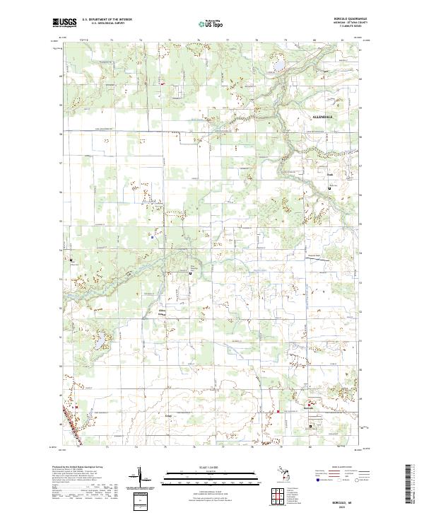
2023 Borculo
Ottawa County, MI
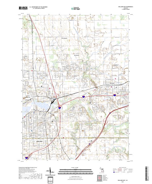
2023 Holland East
Ottawa County, MI
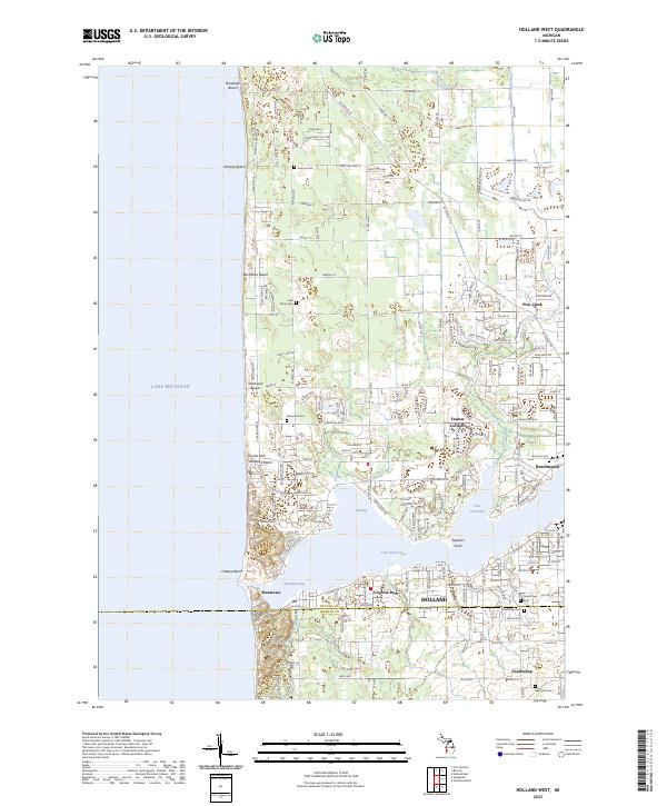
2023 Holland West
Ottawa County, MI
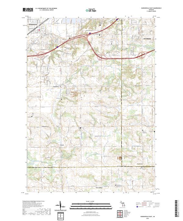
2023 Hudsonville East
Ottawa County, MI
2023 Hudsonville West
Ottawa County, MI
2023 Marne
Ottawa County, MI
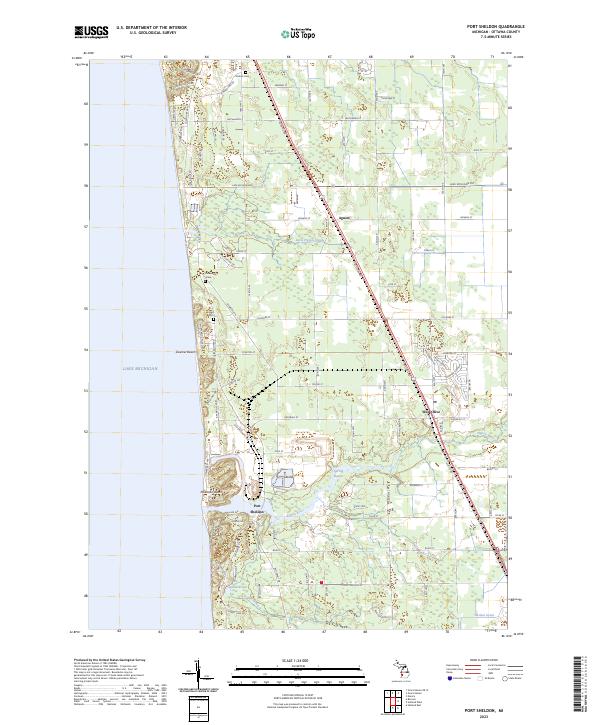
2023 Port Sheldon
Ottawa County, MI