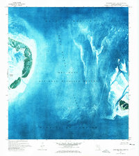
1971 Map of Marquesas Keys East
USGS Topo · Published 1973About this map
Key West National Wildlife Refuge encompasses the fragile marine environment of the lower Florida Keys in this 1971 orthophotomap. The imagery reveals the complex shifting shoals and shallow basins of the Boca Grande Channel, a primary passage separating the westernmost islands from the rest of the chain. To the west, the distinctive circular lagoon formation of the Marquesas Keys is partially visible, featuring Mooney Harbor and the smaller Gull Keys.
Find a feature on this map
8 named features on this map. Tap any name to fly to it.
Don’t see what you’re looking for? This feature index may not catch every label — zoom into the map to look around manually.
Map Details
Editions of this 1971 Marquesas Keys East Map
This is the sole edition of this map. No revisions or reprints were ever made.
Other maps of this area

1921 · Key West
USGS Topo · 1:62,500

1943 · Cottrell Key
USGS Topo · 1:24,000

1963 · Cottrell Key
USGS Topo · 1:24,000
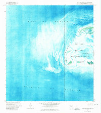
1971 · Marquesas Keys West
USGS Topo · 1:24,000
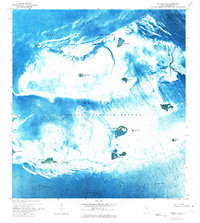
1972 · Cottrell Key
USGS Topo · 1:24,000

1983 · Dry Tortugas
USGS Topo · 1:100,000

1983 · Key West
USGS Topo · 1:100,000

1989 · Key West
USGS Topo · 1:250,000

1989 · Dry Tortugas
USGS Topo · 1:250,000
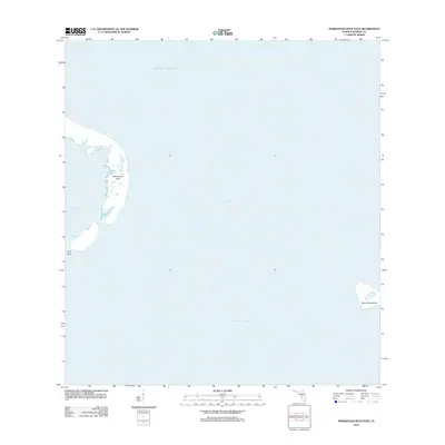
2012 · Marquesas Keys East
USGS Topo · 1:24,000