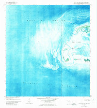
1971 Map of Marquesas Keys West
USGS Topo · Published 1973About this map
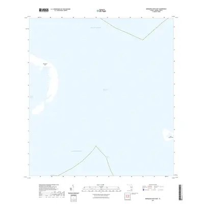
Key West National Wildlife Refuge encompasses the westernmost stretches of the Florida Keys in this 1971 orthophotomap. The composition is defined by the shallow, intricate marine environment between the Gulf of Mexico and the Straits of Florida, where submerged banks and turquoise channels shift around the Marquesas Keys. Unlike traditional topographic maps, this edition uses aerial imagery to show the precise vegetation patterns of the mangrove islands and the sediment flow within Mooney Harbor. Landmarks are sparse in this protected wilderness, though localized features such as the Tower on the northern crescent and the small Gull Keys to the southeast provide fixed points for navigation. This survey documents the archipelago’s delicate geography before significant modern environmental changes, capturing the isolated character of Mooney Harbor Key and its surrounding tidal flats.
Find a feature on this map
8 named features on this map. Tap any name to fly to it.
Don’t see what you’re looking for? This feature index may not catch every label — zoom into the map to look around manually.
Map Details
Editions of this 1971 Marquesas Keys West Map
This is the sole edition of this map. No revisions or reprints were ever made.
Other maps of this area
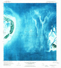
1971 · Marquesas Keys East
USGS Topo · 1:24,000

1983 · Dry Tortugas
USGS Topo · 1:100,000

1989 · Dry Tortugas
USGS Topo · 1:250,000
2012 · Marquesas Keys East
USGS Topo · 1:24,000
2012 · Marquesas Keys West
USGS Topo · 1:24,000
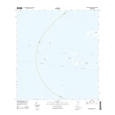
2015 · Marquesas Keys West
USGS Topo · 1:24,000
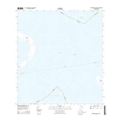
2015 · Marquesas Keys East
USGS Topo · 1:24,000
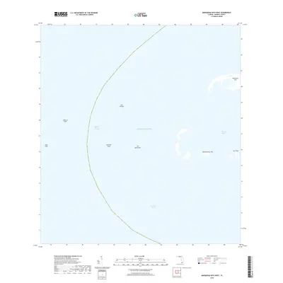
2018 · Marquesas Keys West
USGS Topo · 1:24,000
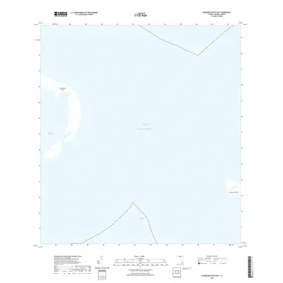
2018 · Marquesas Keys East
USGS Topo · 1:24,000
2021 · Marquesas Keys East
USGS Topo · 1:24,000