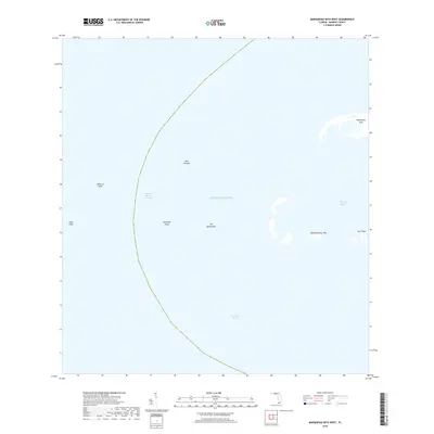
2018 Map of Marquesas Keys West
USGS Topo · Published 2018About this map
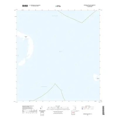
The western edges of the Marquesas atoll are charted in this marine survey, capturing the complex shoals and shifting sands of the lower Florida Keys before they drop into the deep Straits of Florida. This maritime landscape is defined by its shallow navigation hazards, featuring the aptly named The Quicksands and the broad expanse of New Ground. In the eastern portion of the sheet, the land emerges at Mooney Harbor Key and the small Gull Keys, which frame the protected waters of Mooney Harbor. To the west, the seafloor rises at Rebecca Shoal and Isaac Shoal, separated from the main banks by the deep Rebecca Shoal Channel. The survey provides a clear view of the coral and sand formations that have historically challenged navigators traveling between the Atlantic Ocean and the Gulf.
Find a feature on this map
12 named features on this map. Tap any name to fly to it.
Don’t see what you’re looking for? This feature index may not catch every label — zoom into the map to look around manually.
Map Details
Editions of this 2018 Marquesas Keys West Map
This is the sole edition of this map. No revisions or reprints were ever made.
Other maps of this area
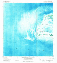
1971 · Marquesas Keys West
USGS Topo · 1:24,000
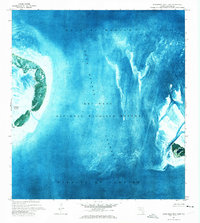
1971 · Marquesas Keys East
USGS Topo · 1:24,000

1983 · Dry Tortugas
USGS Topo · 1:100,000

1989 · Dry Tortugas
USGS Topo · 1:250,000
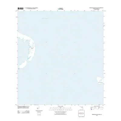
2012 · Marquesas Keys East
USGS Topo · 1:24,000
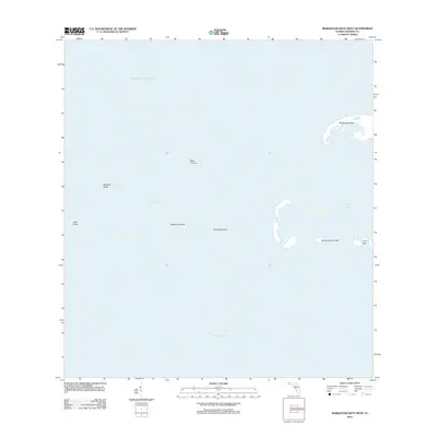
2012 · Marquesas Keys West
USGS Topo · 1:24,000
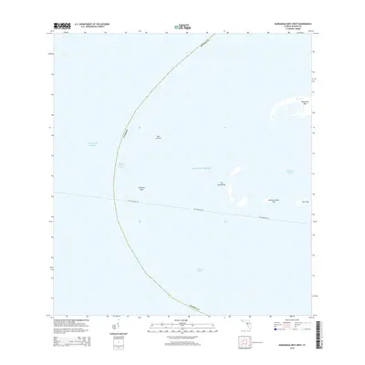
2015 · Marquesas Keys West
USGS Topo · 1:24,000
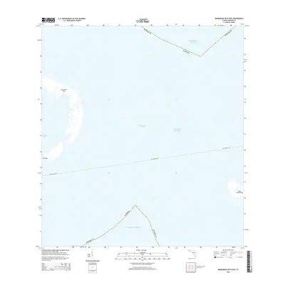
2015 · Marquesas Keys East
USGS Topo · 1:24,000
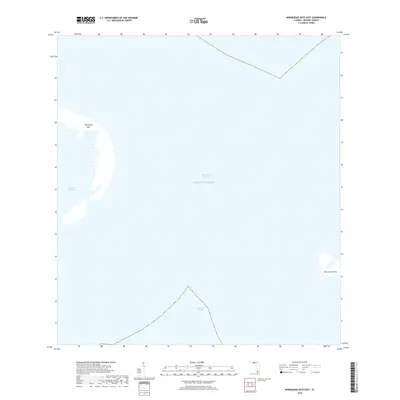
2018 · Marquesas Keys East
USGS Topo · 1:24,000
2021 · Marquesas Keys East
USGS Topo · 1:24,000