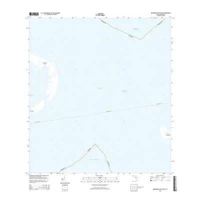
2015 Map of Marquesas Keys East
USGS Topo · Published 2015About this map
Marquesas Keys and the surrounding waters of the Atlantic Ocean define this 2015 study of the lower Florida Keys. The map details the transition from the protected waters of Mooney Harbor to the deeper Boca Grande Channel. On the eastern edge of the sheet, Boca Grande Key sits isolated, while the small Gull Keys punctuate the shallow flats. A notable navigational feature is the Dry Tortugas Fry, which cuts a straight line across the marine landscape. The map provides a precise record of the shoreline and coastal geography in Monroe County during the early 21st century, illustrating the unique coral atoll structure of the Marquesas group.
Find a feature on this map
9 named features on this map. Tap any name to fly to it.
Don’t see what you’re looking for? This feature index may not catch every label — zoom into the map to look around manually.
Map Details
Editions of this 2015 Marquesas Keys East Map
This is the sole edition of this map. No revisions or reprints were ever made.
Other maps of this area

1921 · Key West
USGS Topo · 1:62,500

1943 · Cottrell Key
USGS Topo · 1:24,000

1963 · Cottrell Key
USGS Topo · 1:24,000
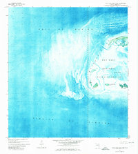
1971 · Marquesas Keys West
USGS Topo · 1:24,000
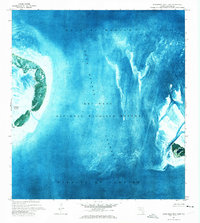
1971 · Marquesas Keys East
USGS Topo · 1:24,000
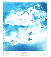
1972 · Cottrell Key
USGS Topo · 1:24,000

1983 · Dry Tortugas
USGS Topo · 1:100,000

1983 · Key West
USGS Topo · 1:100,000

1989 · Key West
USGS Topo · 1:250,000

1989 · Dry Tortugas
USGS Topo · 1:250,000