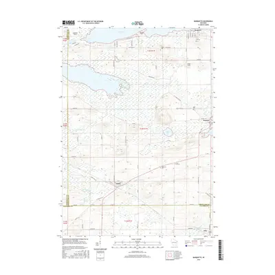
2016 Map of Marquette
USGS Topo · Published 2016About this map
Marquette and the surrounding marshlands of south-central Wisconsin appear here as a landscape defined by the meandering Fox River and Grand River. In this 2016 survey, the area where Green Lake, Marquette, and Columbia counties meet reveals a rural network of small settlements and family burial grounds. The village of Dalton sits at the junction of several county highways, while Kingston is situated near the edge of Grand Lake. Researchers can trace the hydrography of the region from the wide expanse of Puckaway Lake down to the smaller Spring Lake and the feeder waters of Belle Fountain Cr. Significant local landmarks like Rock Hill and Grays Rocks provide topographic relief against the wetland terrain. The map records several long-standing local cemeteries, including Grand View Cem and Greenwood Cem, which serve as vital points of interest for those studying the genealogical history of these lakeside communities.
Find a feature on this map
70 named features on this map. Tap any name to fly to it.
Don’t see what you’re looking for? This feature index may not catch every label — zoom into the map to look around manually.
Map Details
Editions of this 2016 Marquette Map
This is the sole edition of this map. No revisions or reprints were ever made.
Other maps of this area

1902 · Portage
USGS Topo · 1:62,500

1915 · Neshkoro
USGS Topo · 1:48,000

1918 · Neshkoro
USGS Topo · 1:62,500

1955 · Randolph
USGS Topo · 1:62,500

1957 · Madison
USGS Topo · 1:250,000

1960 · Madison
USGS Topo · 1:250,000

1961 · Montello
USGS Topo · 1:62,500

1962 · Portage
USGS Topo · 1:62,500

1963 · Neshkoro
USGS Topo · 1:62,500
1980 · Manchester
USGS Topo · 1:24,000