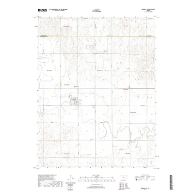
2018 Map of Marquette
USGS Topo · Published 2018About this map
The Marquette townsite and its surrounding agricultural valley are defined by the winding course of the Smoky Hill River, which bisects the landscape in this modern-era survey. The town's local history is anchored by its community and faith institutions, including the Elim Lutheran Cem and Marquette Cem. Settlement patterns here follow the river's path and tributary drainage, with named streams like Edwards Cr, Sharps Cr, and Wolf Cr carving the terrain between the northern uplands and southern plains. Smaller named locations such as Mackie and Freemount indicate the persistent rural nodes that have characterized this portion of the Kansas interior. The road network, including Coronado Heights Rd and Smoky Valley Rd, reveals how modern transport infrastructure has adapted to the traditional section lines and river crossings that have shaped the region since its early development.
Find a feature on this map
28 named features on this map. Tap any name to fly to it.
Don’t see what you’re looking for? This feature index may not catch every label — zoom into the map to look around manually.
Map Details
Editions of this 2018 Marquette Map
This is the sole edition of this map. No revisions or reprints were ever made.
Other maps of this area

1891 · Hutchinson
USGS Topo · 1:125,000

1892 · Salina
USGS Topo · 1:125,000

1893 · Hutchinson
USGS Topo · 1:125,000

1942 · Salina
USGS Topo · 1:125,000

1955 · Smolan
USGS Topo · 1:24,000

1955 · Falun
USGS Topo · 1:24,000

1955 · Hutchinson
USGS Topo · 1:250,000
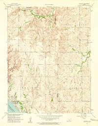
1957 · Venango
USGS Topo · 1:24,000

1959 · Hutchinson
USGS Topo · 1:250,000

1964 · Marquette
USGS Topo · 1:24,000